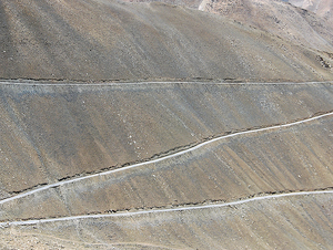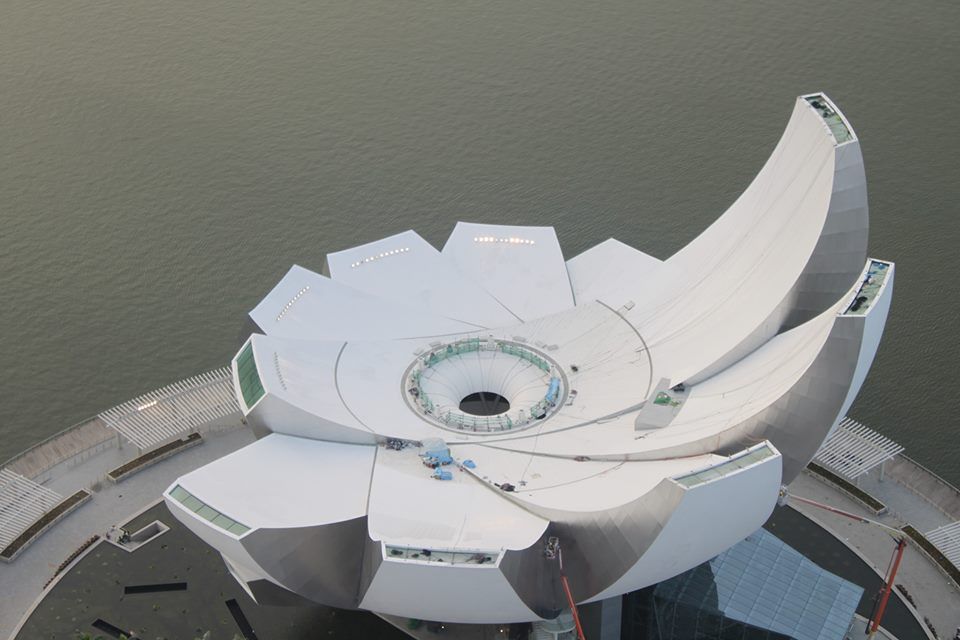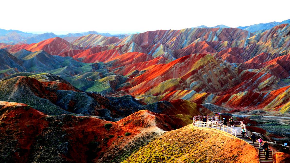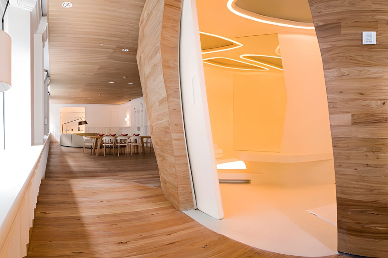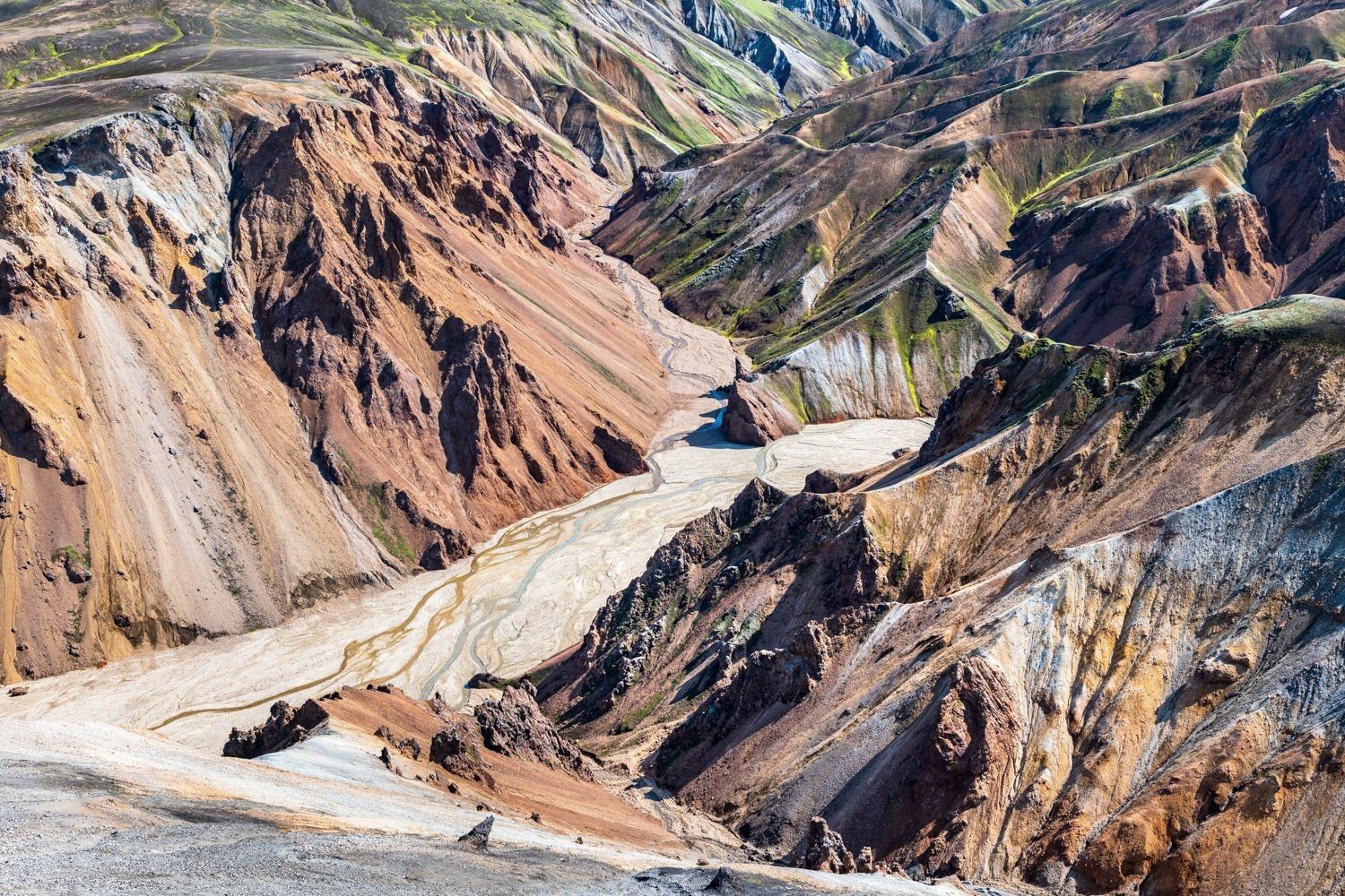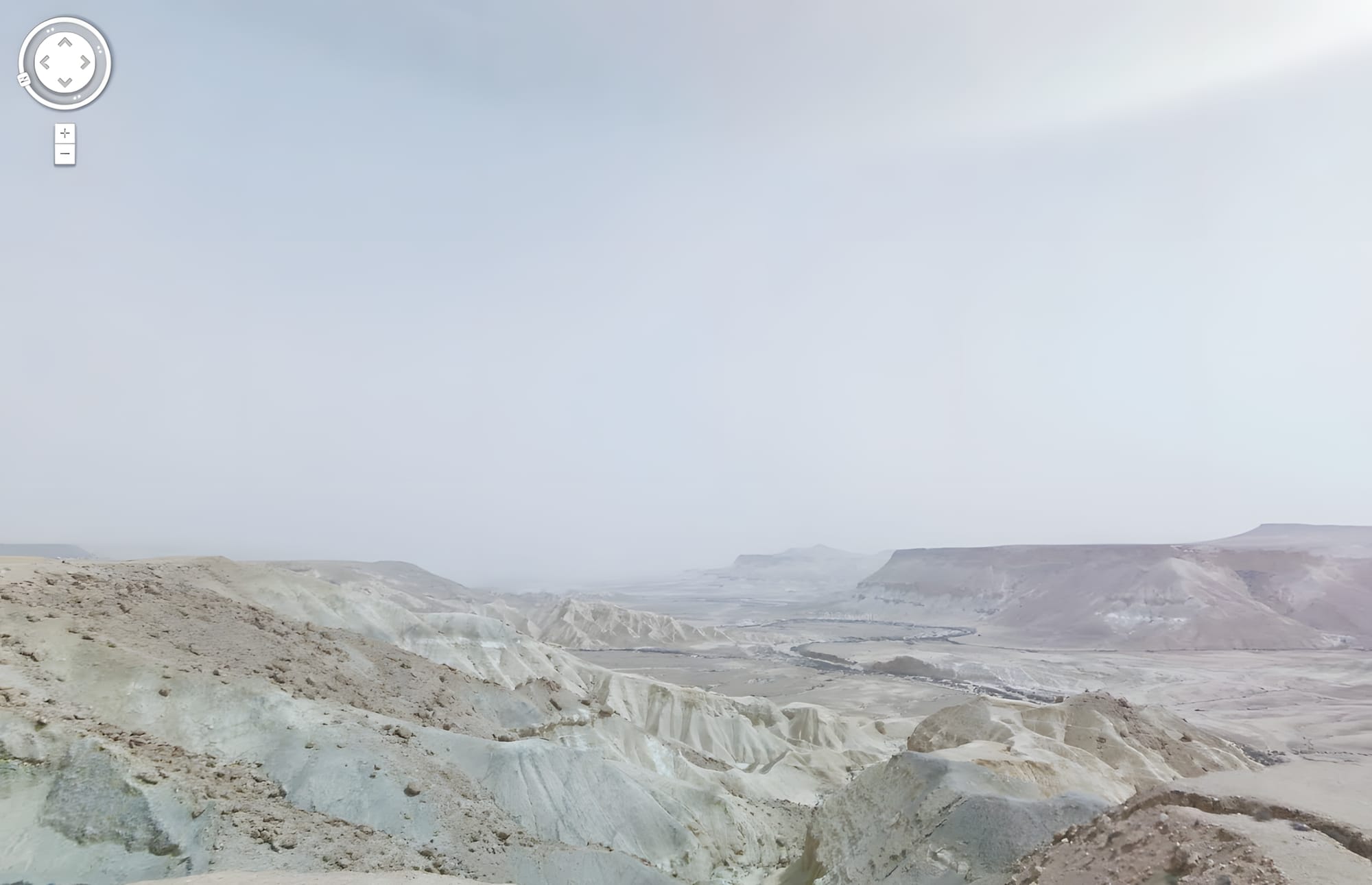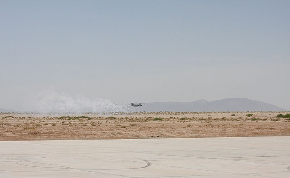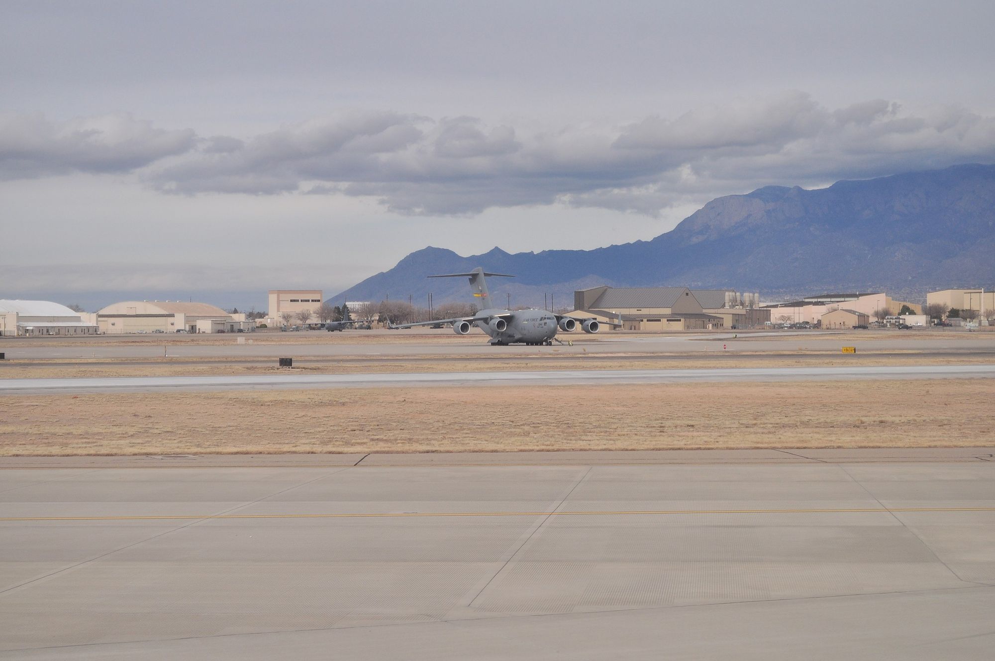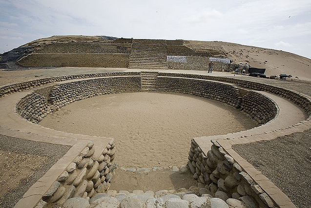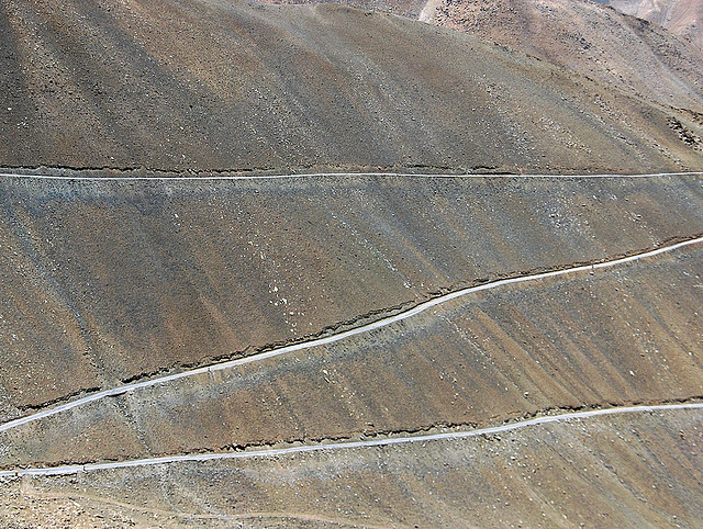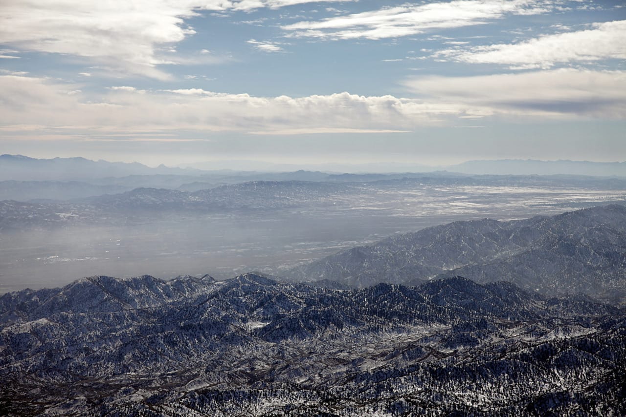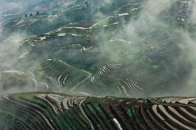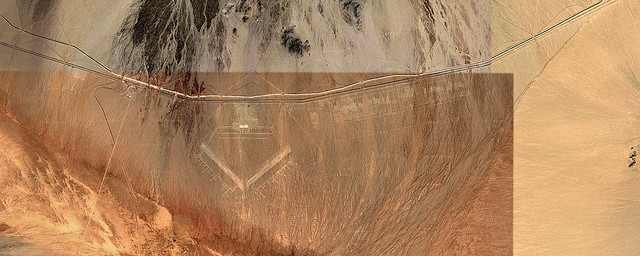
Huangyangtan Terrain Model — Aksai Chin Alignment Overlay
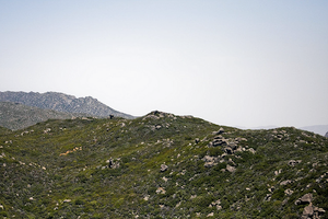
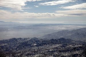
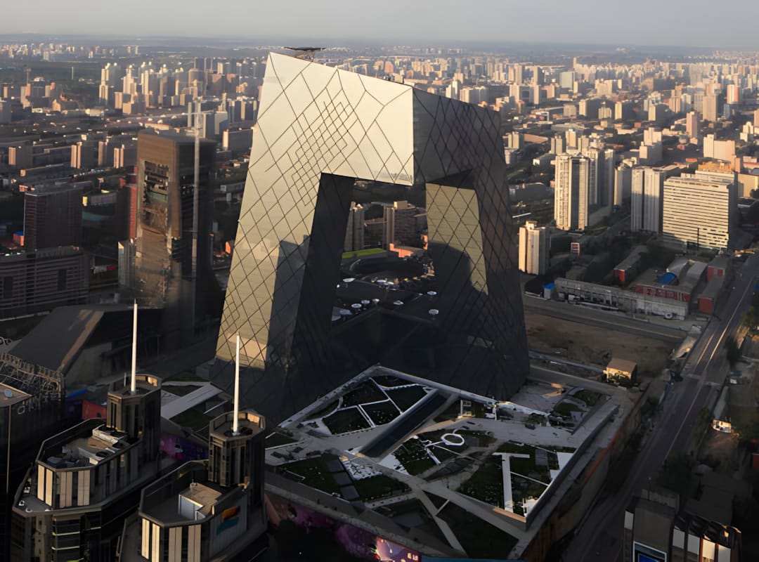
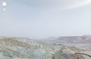
A satellite alignment comparison of the Huangyangtan terrain model and Aksai Chin.
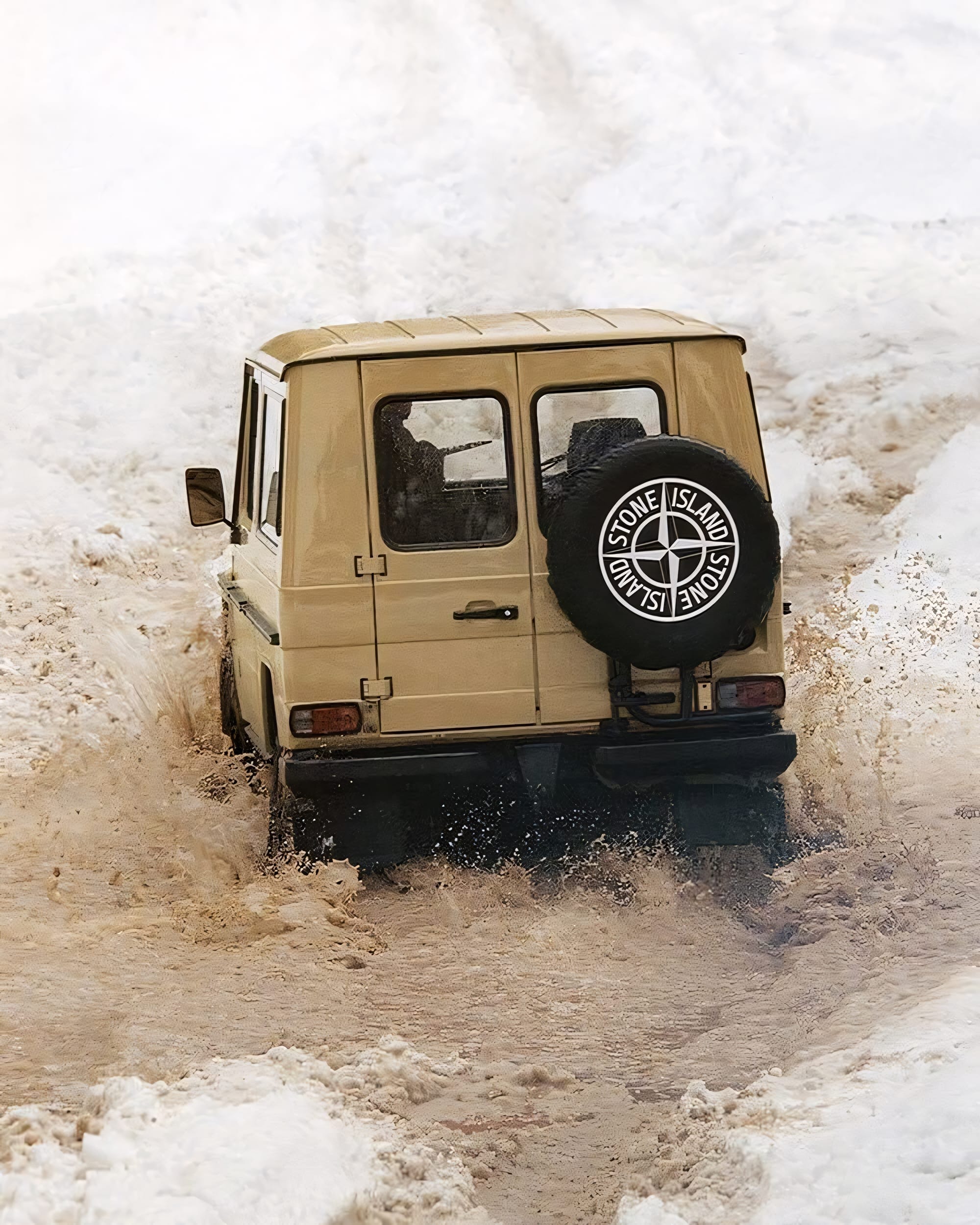
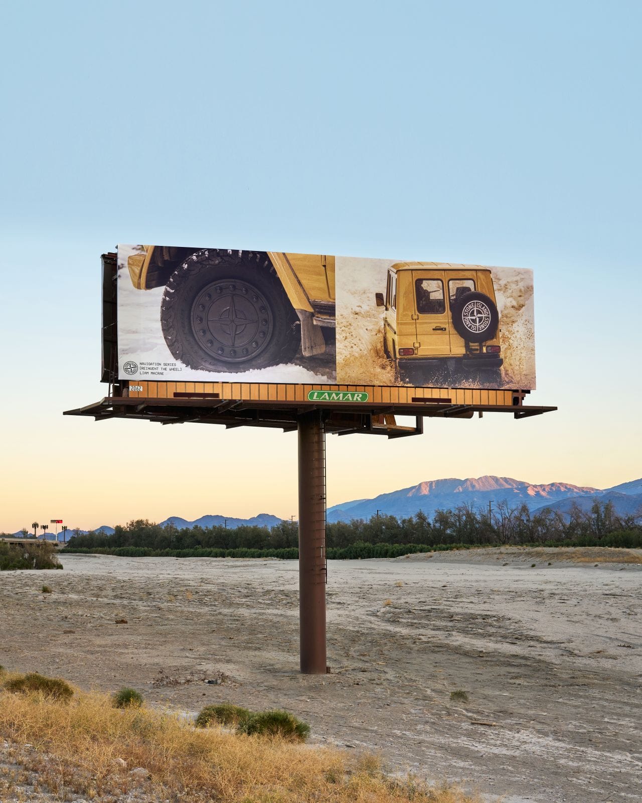
![stone island navigation series [reinvent the wheel] by liam macrae](https://storage.ghost.io/c/14/ee/14eef3be-ca5a-434b-8324-fa1f874026f1/content/images/size/w300/2025/08/stone-island-liam-macrae-navigation-series-002-1.jpg)
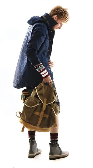
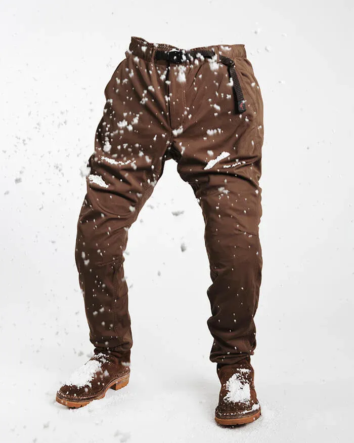
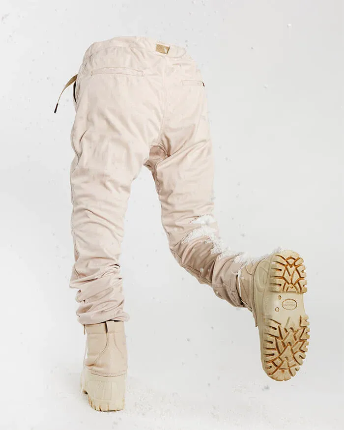
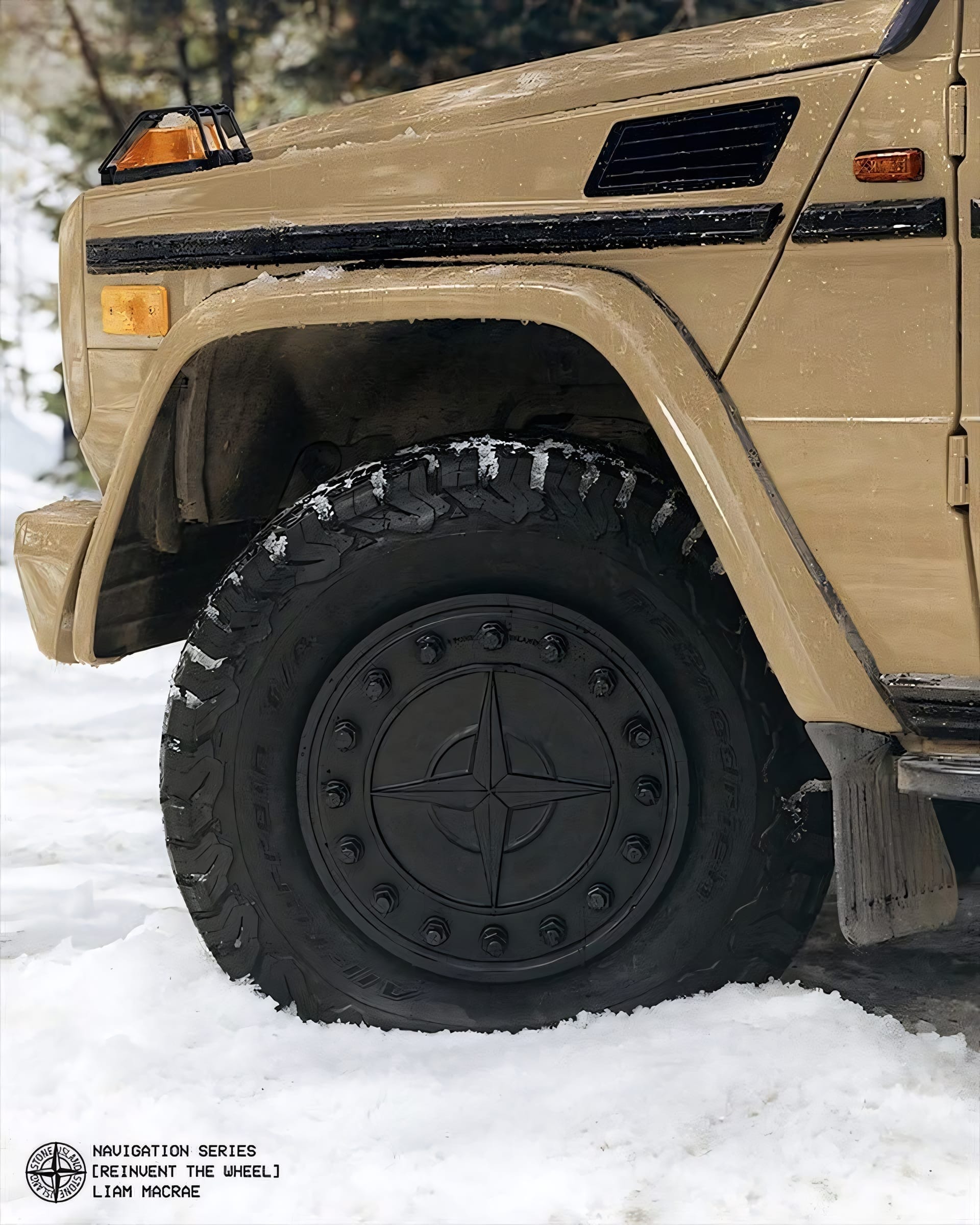
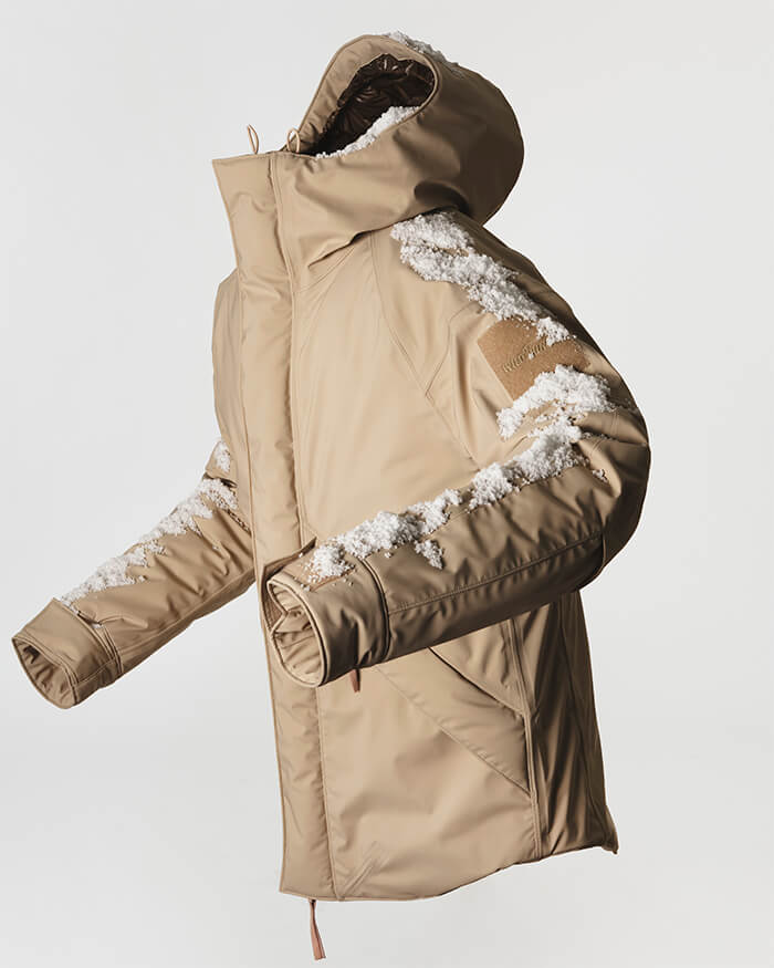
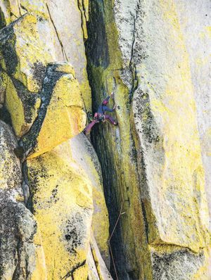
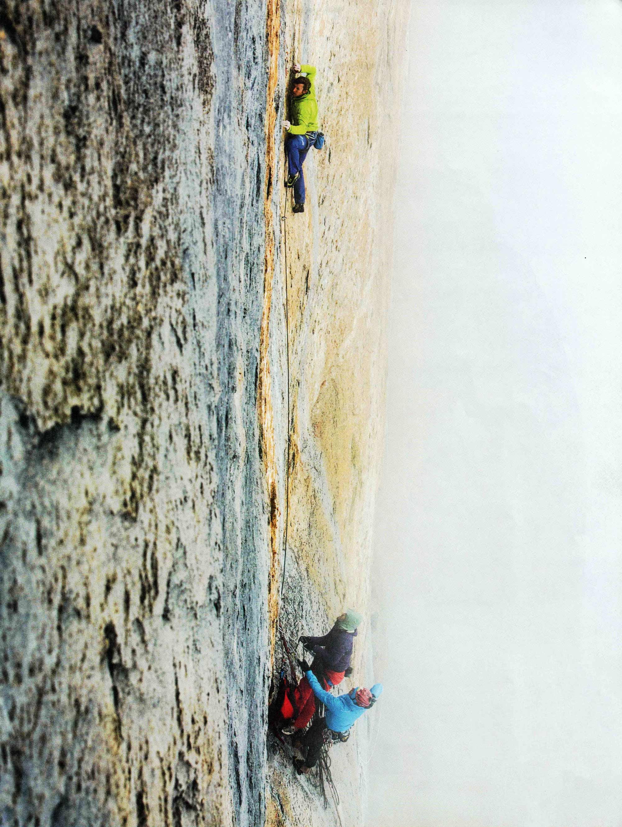
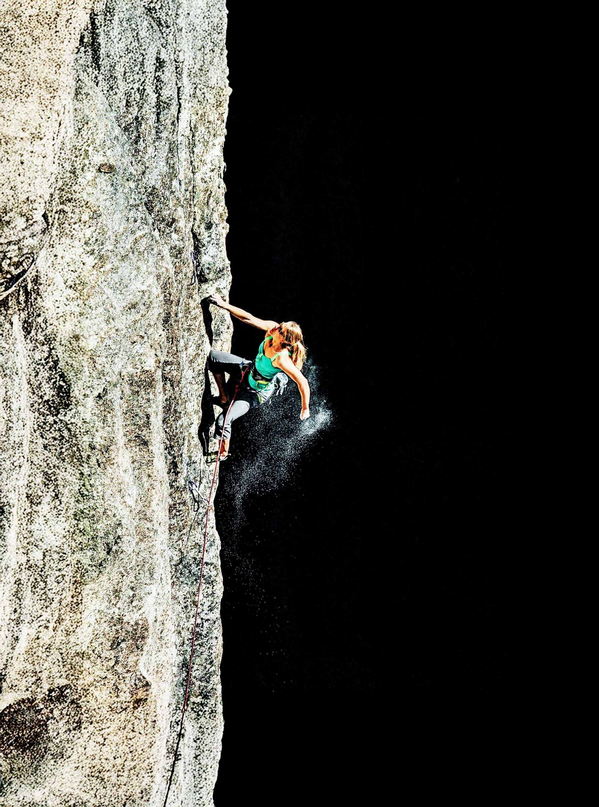
Stone Island’s Navigation Series: Reinvent the Wheel, photographed by Liam MacRae, is part of the brand’s ongoing study of orientation and movement. The work frames navigation as both physical and symbolic—referencing terrain, direction, and systems of guidance. Within the series, “Reinvent the Wheel” emphasizes reinterpreting established structures of travel and perception, continuing Stone Island’s research into exploration and the mechanics of wayfinding.
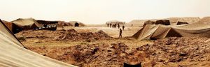
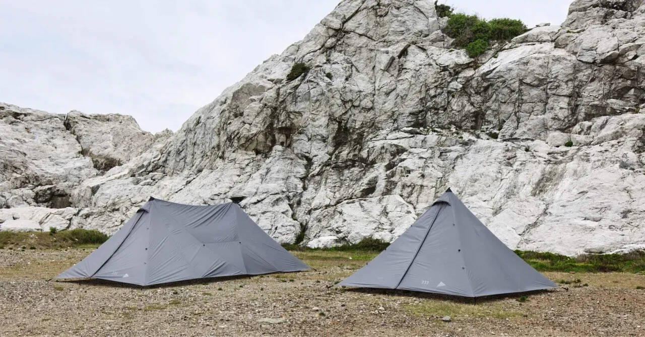
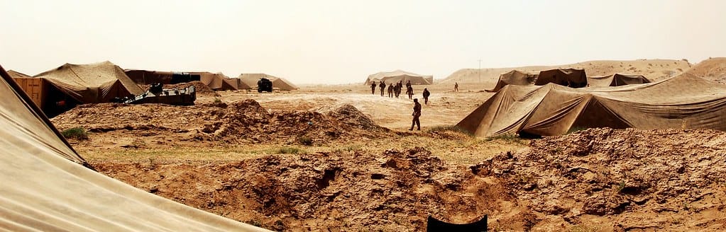
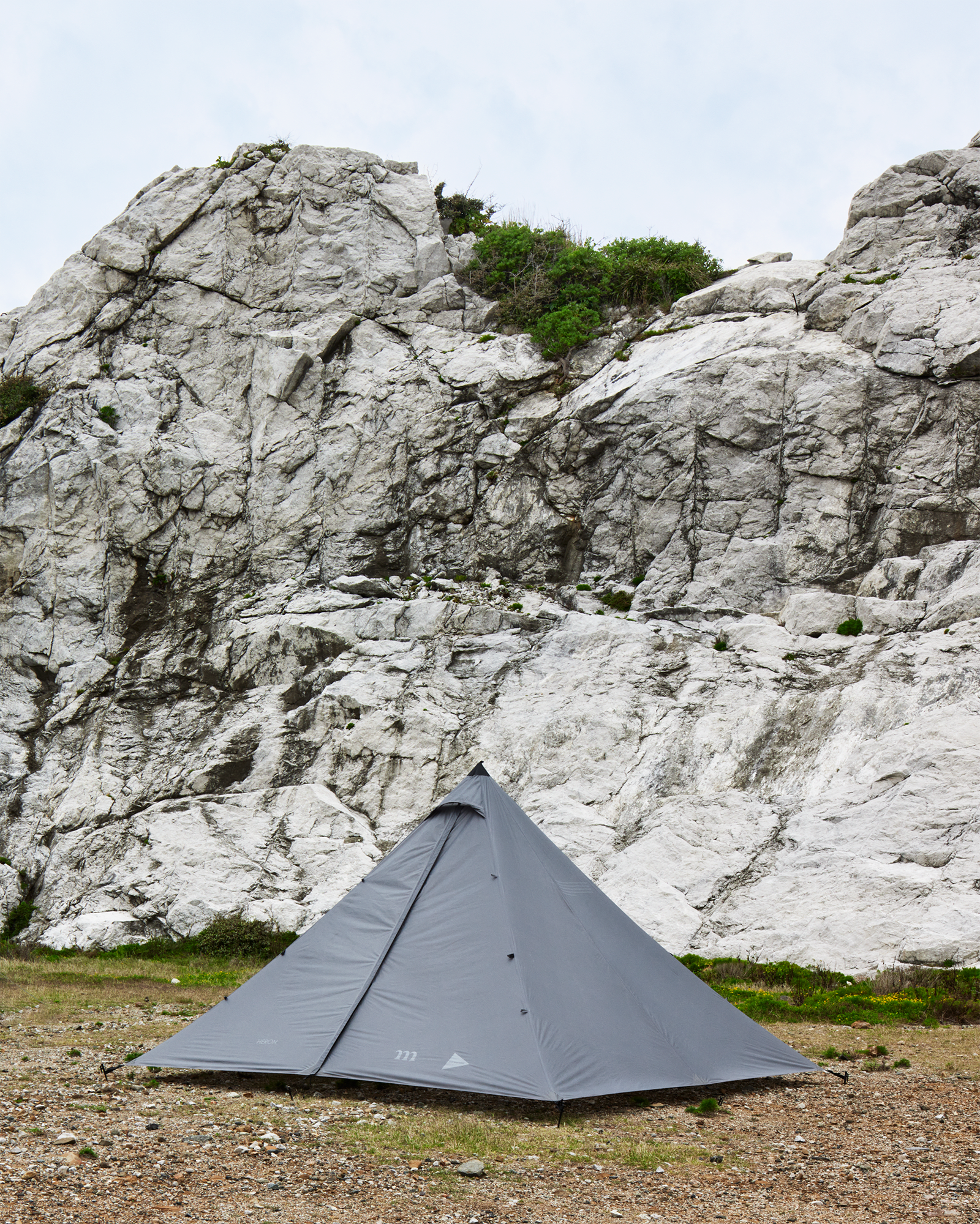
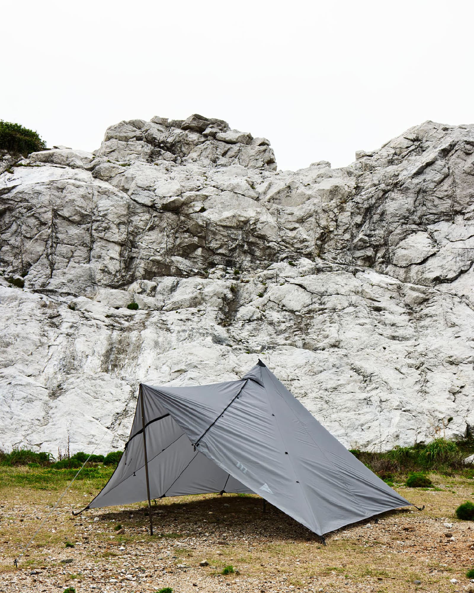
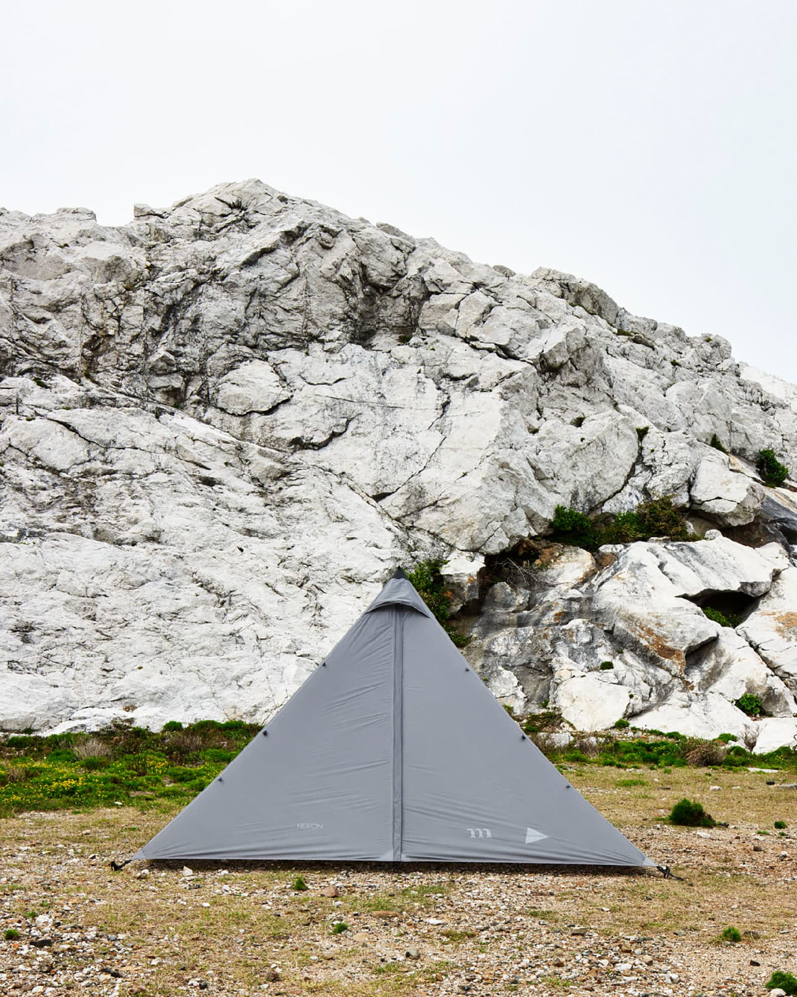
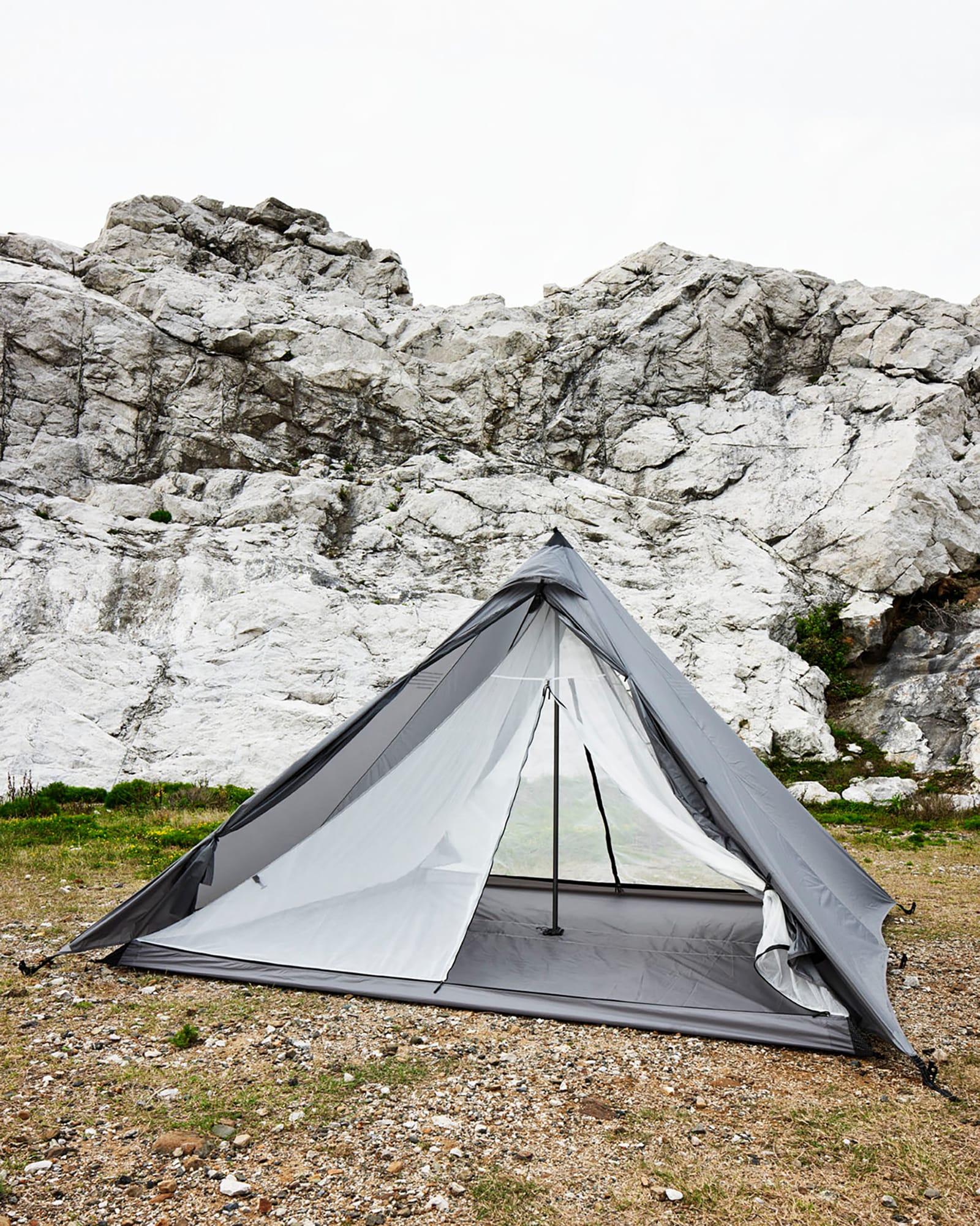
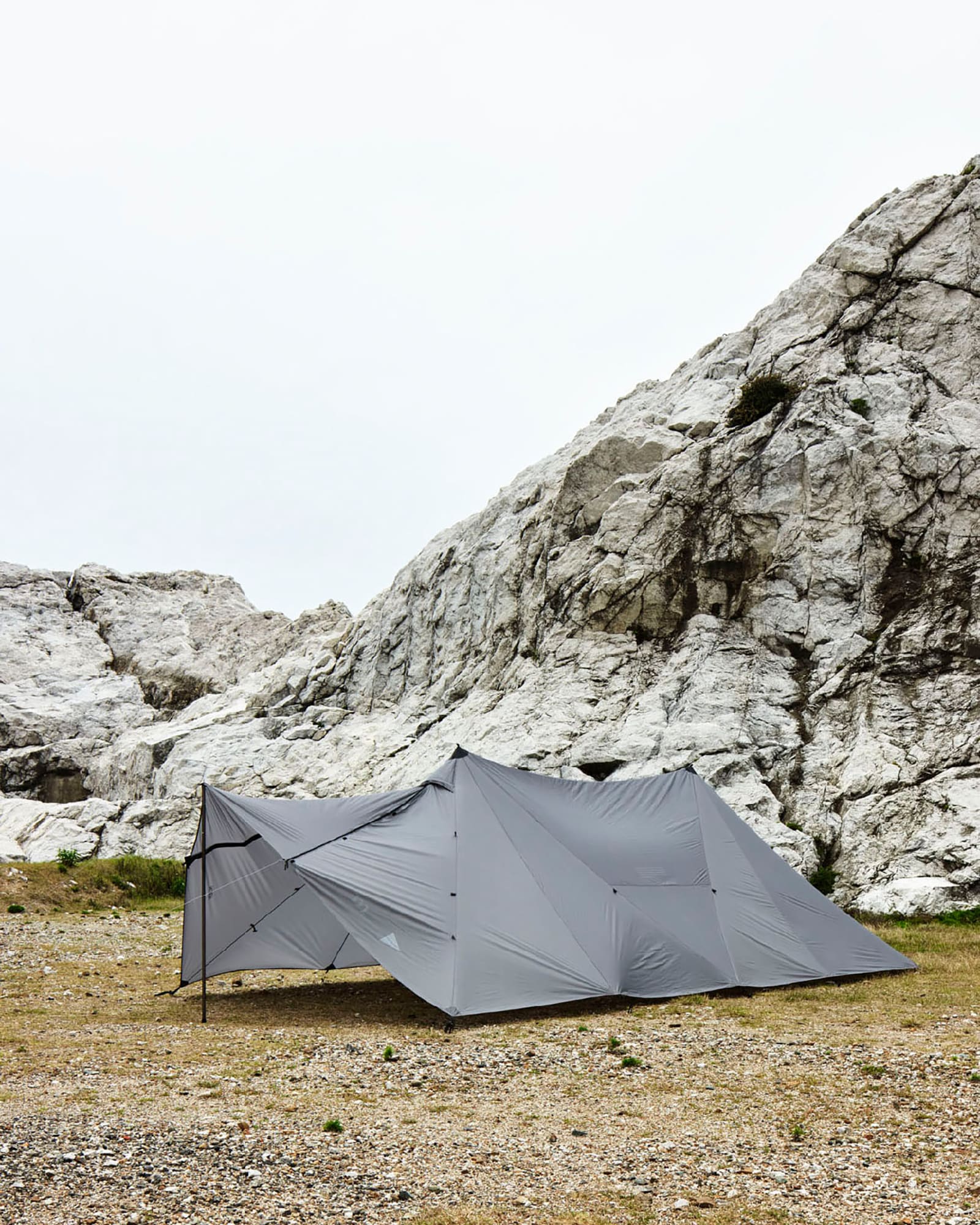
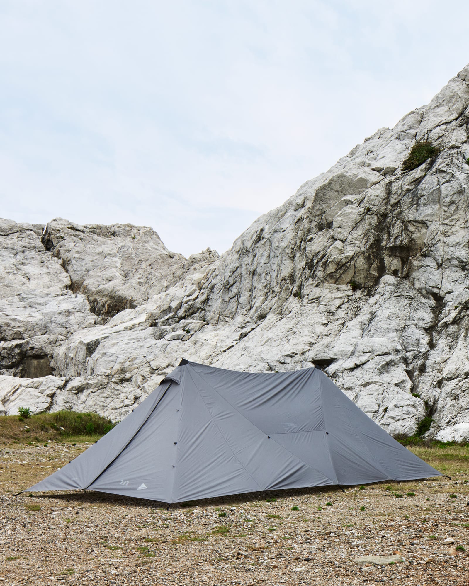
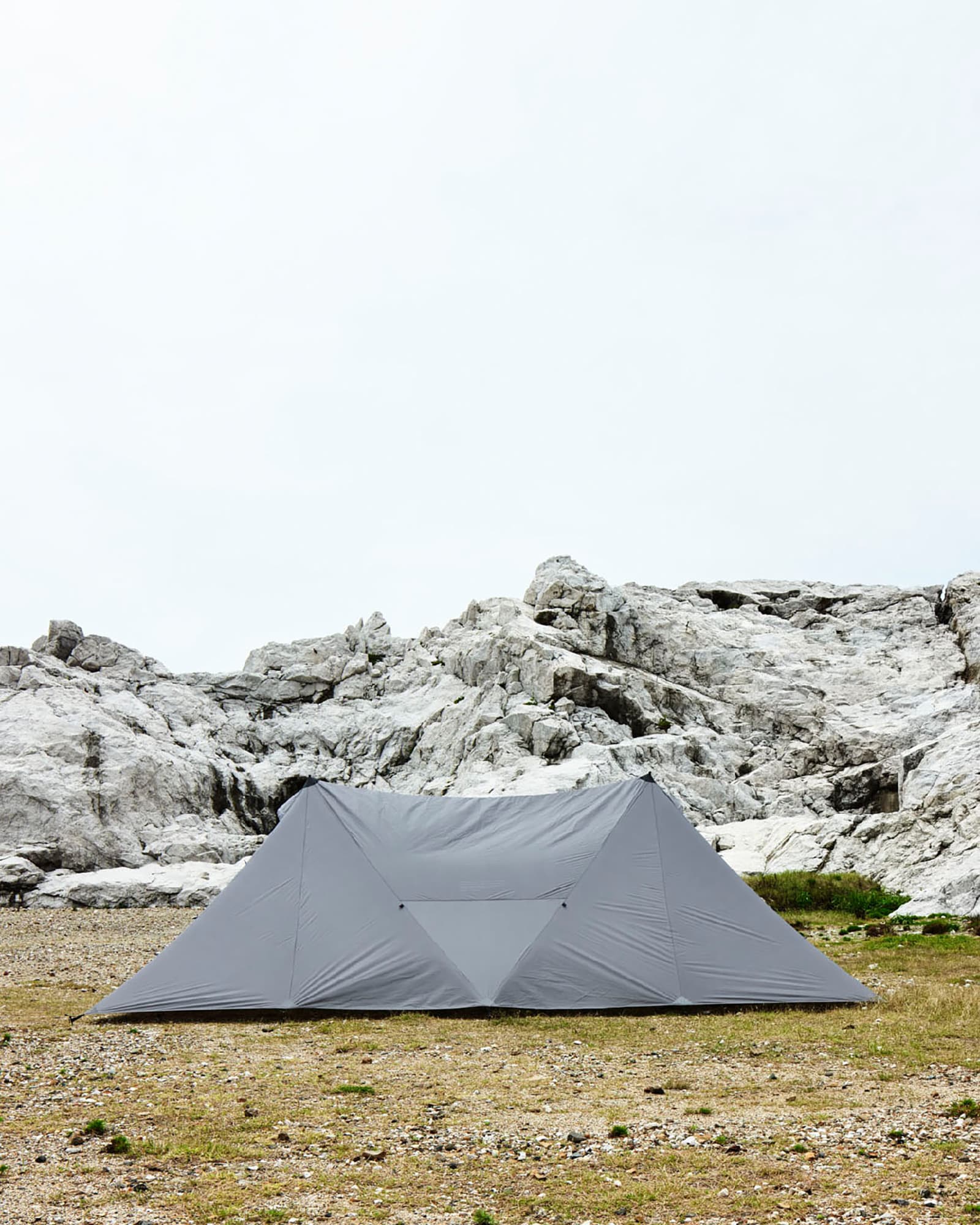
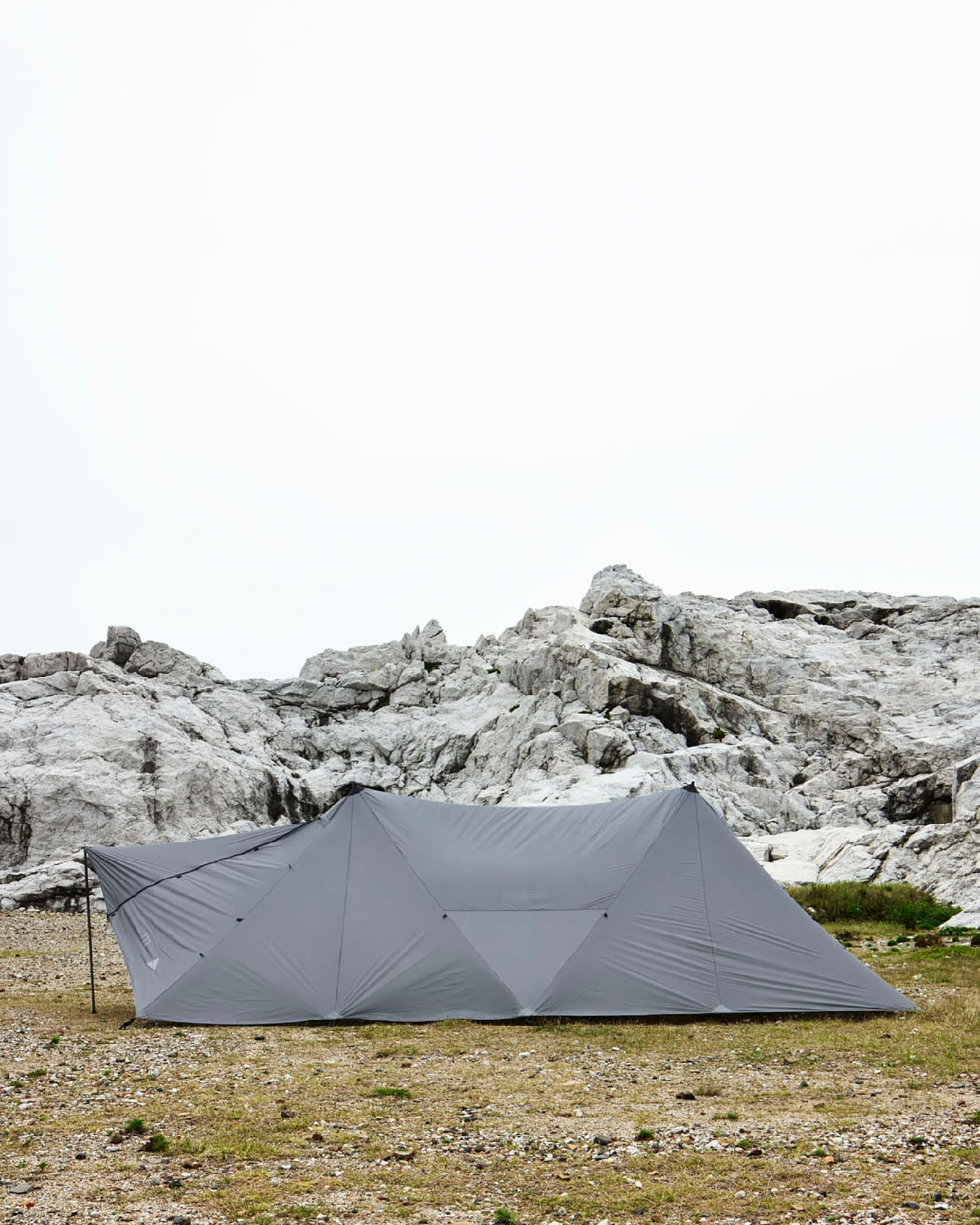
This tent boasts a straightforward structure, allowing for quick and effortless setup. To assemble, lay the flysheet on the ground and firmly secure the four corners with pegs. Then, raise the center pole at the top. The remarkable simplicity of this setup is unmatched by self-supporting dome-shaped tents, and its generous overhead clearance adds to its allure.

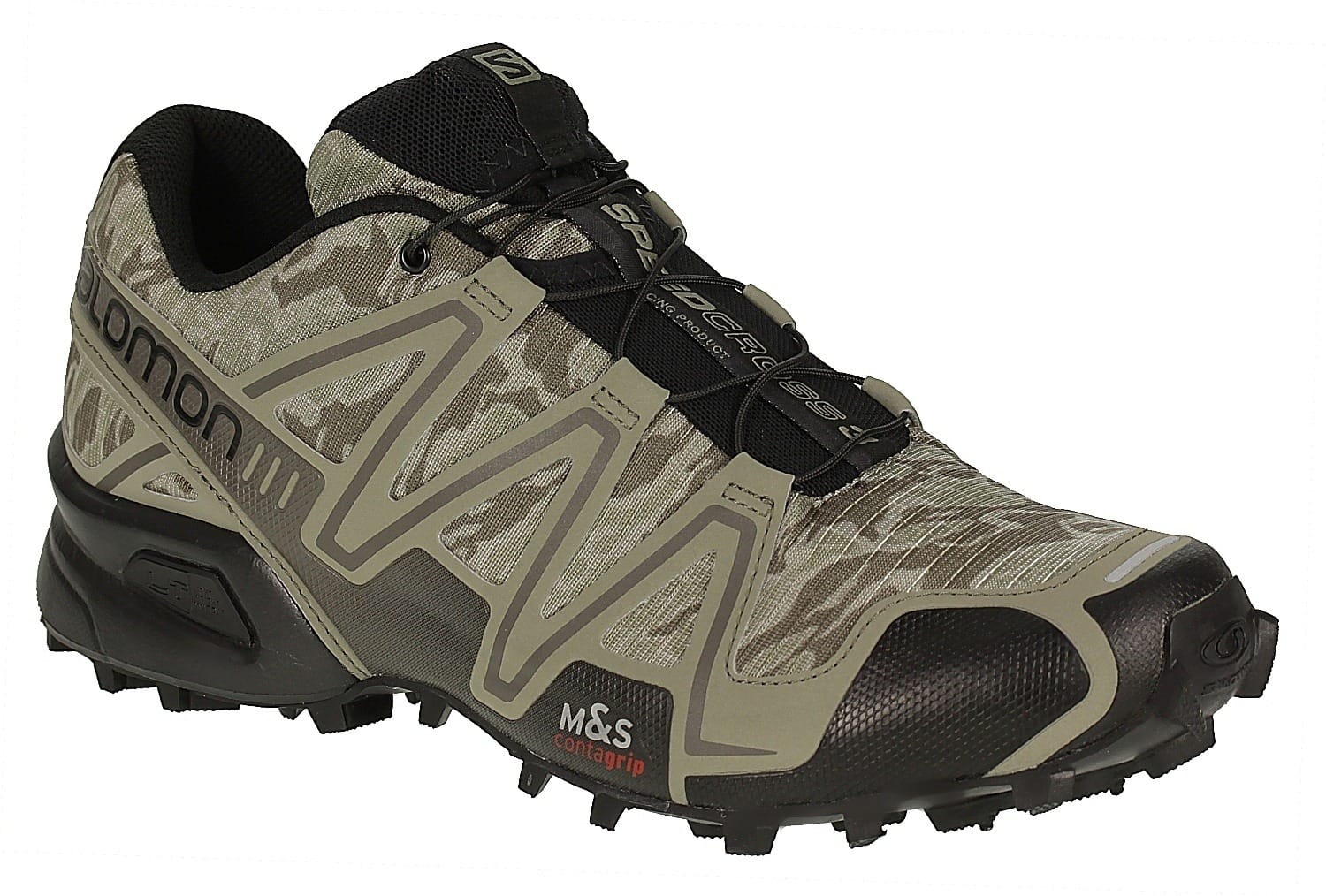
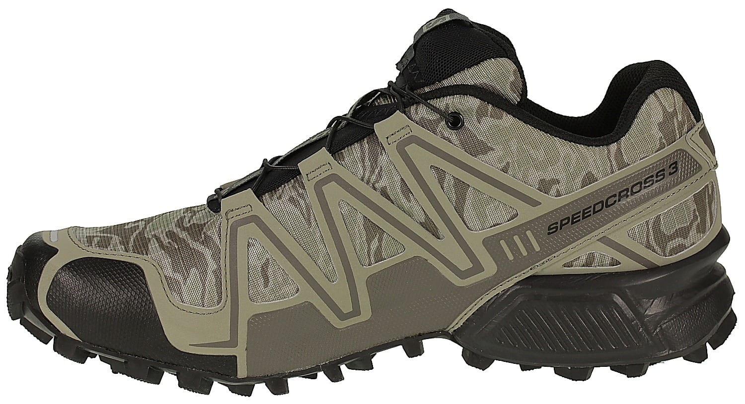
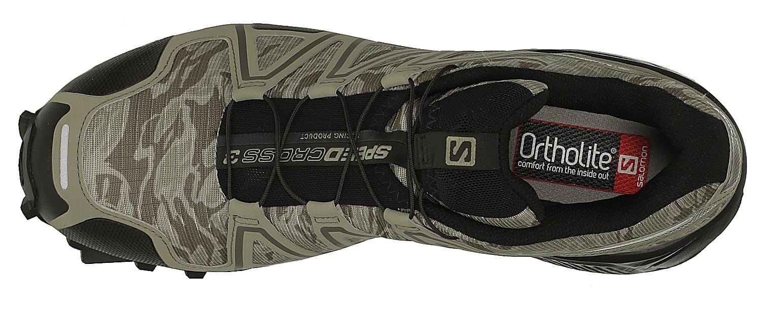
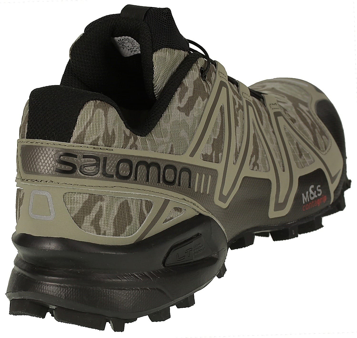
The Salomon Speedcross 3 Camo in Titanium/Dark Titanium/Swamp applies a muted tonal camouflage treatment to the footwear's aggressive trail-running silhouette. A grippy lugged outsole and supportive upper keep it performance-driven, while the low-contrast palette makes it feel more tactical for desert environments.
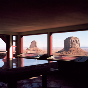
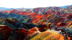
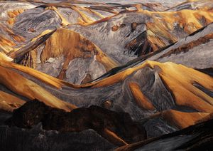
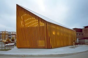
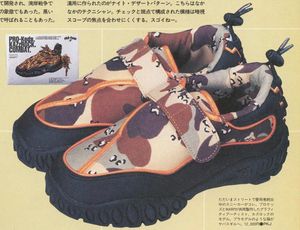
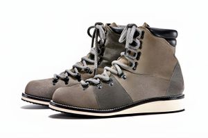
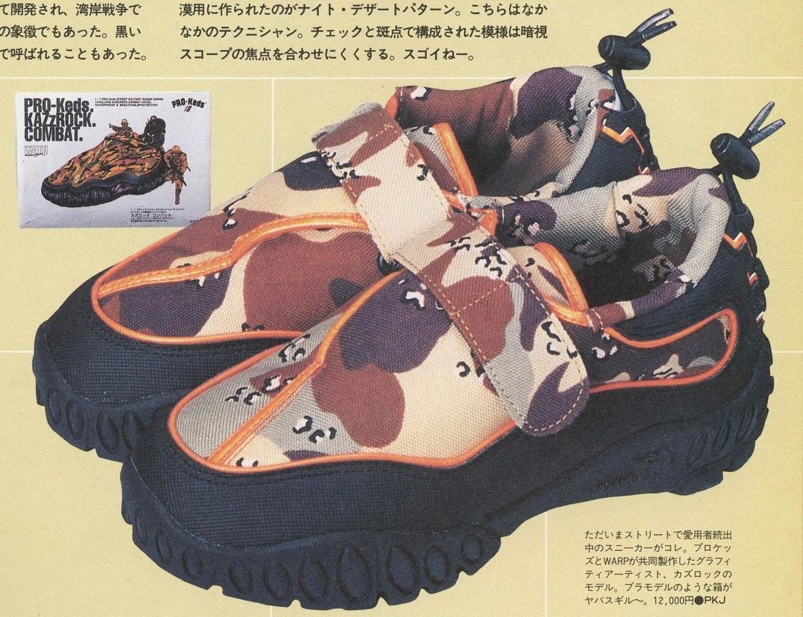
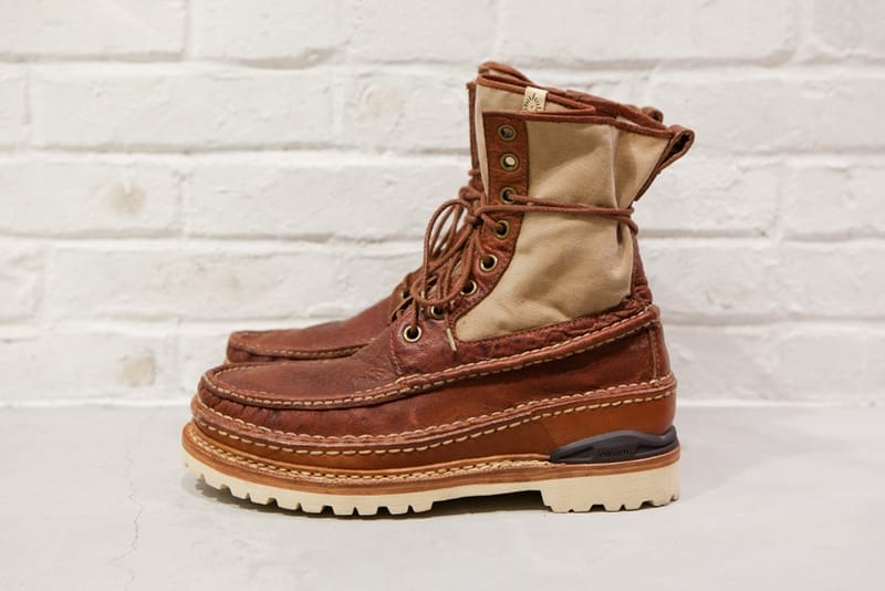
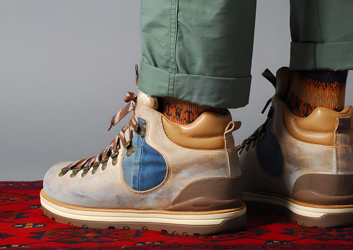
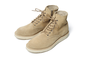
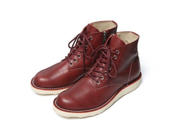
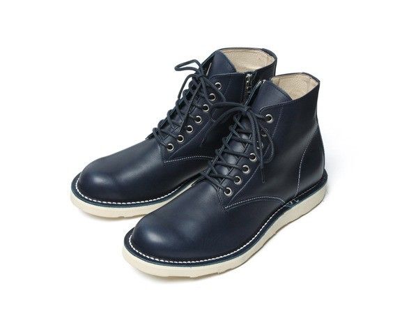
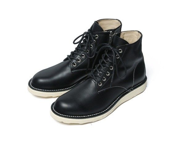
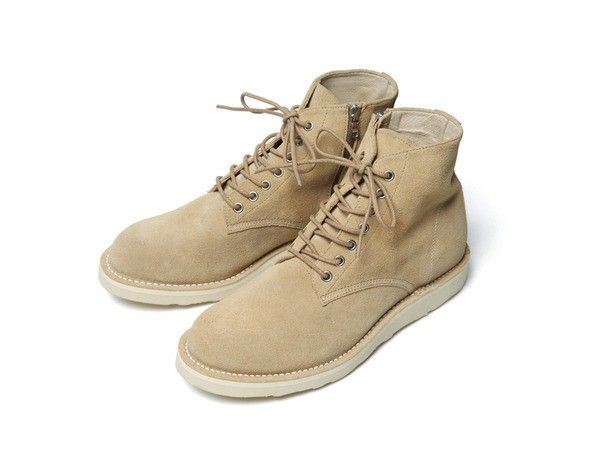
From their street military shoes series



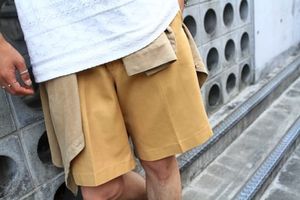
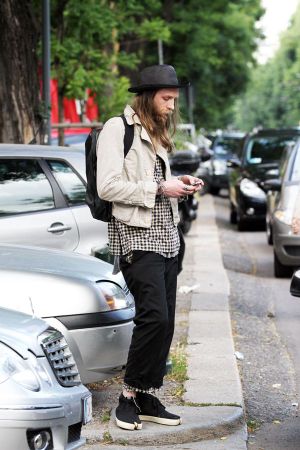
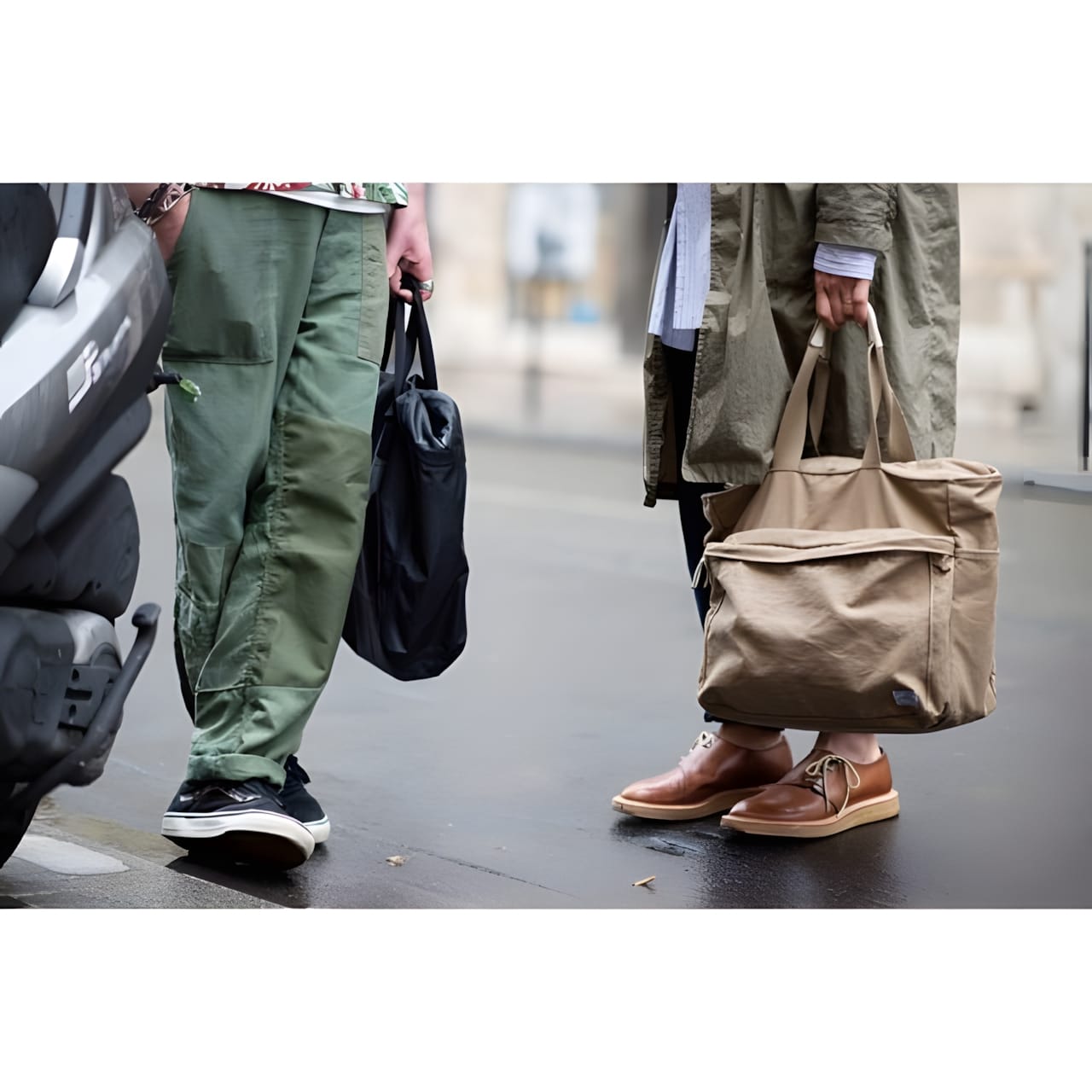
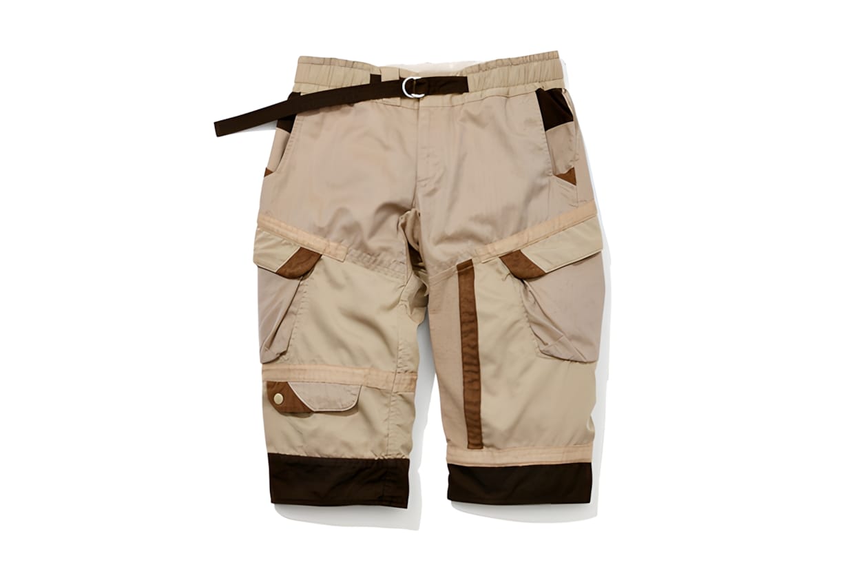
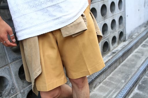
Tan pleated shorts on the street in Harajuku, Tokyo, shot for Fashionsnap in September 2012. Full, high-waisted and worn long.

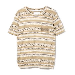
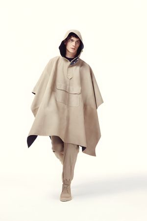
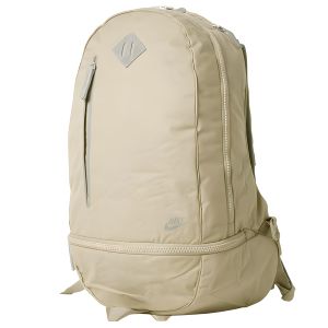
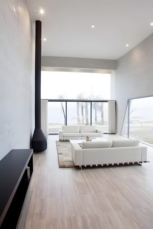
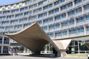
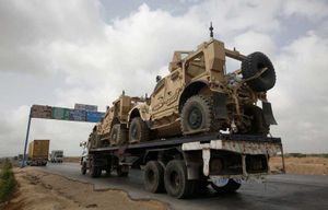
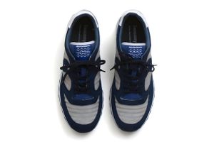
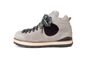
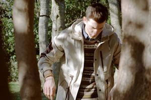
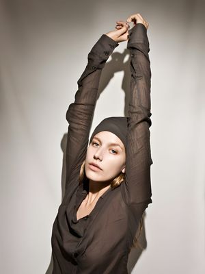
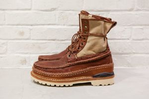
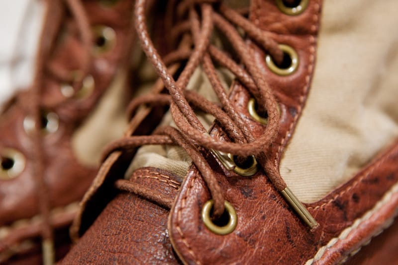
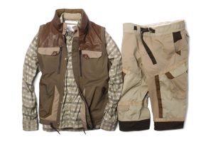
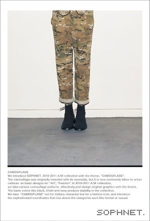
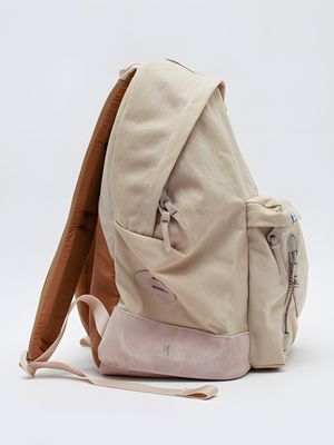
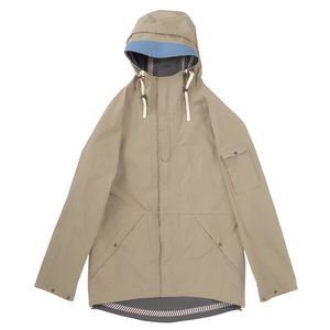
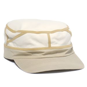
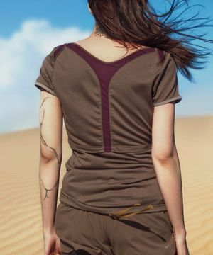
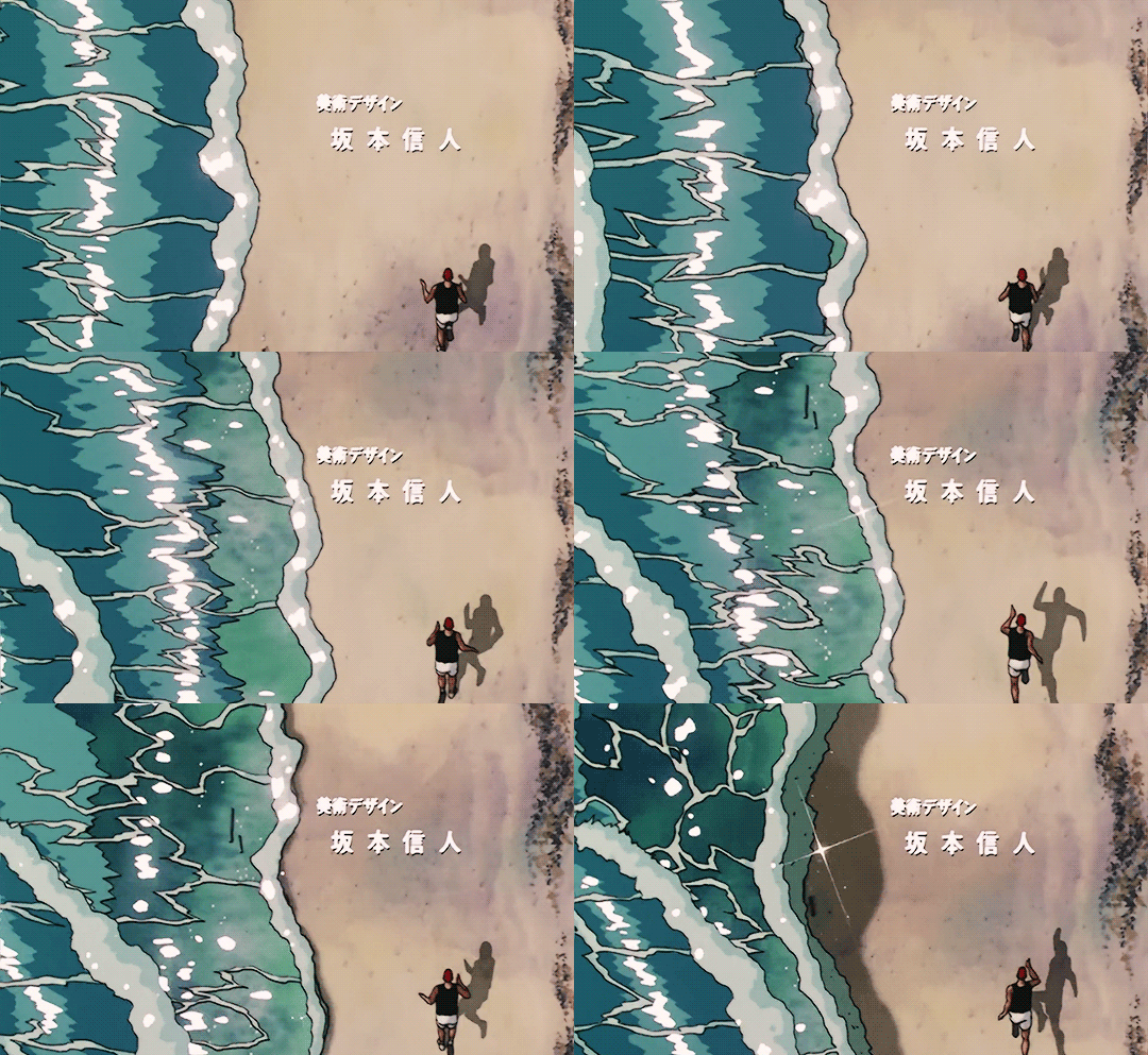
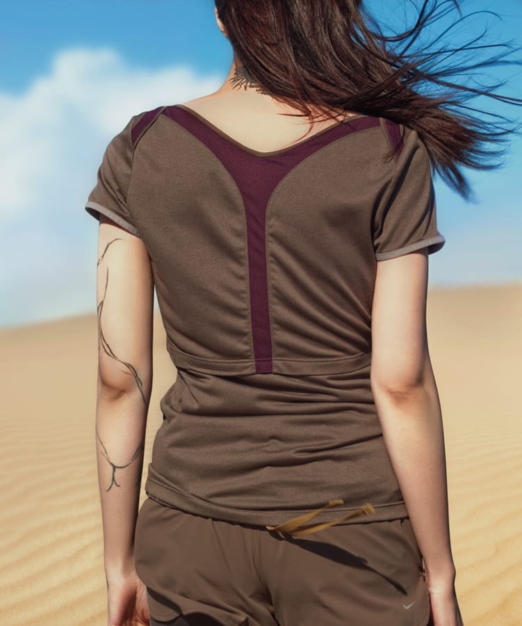
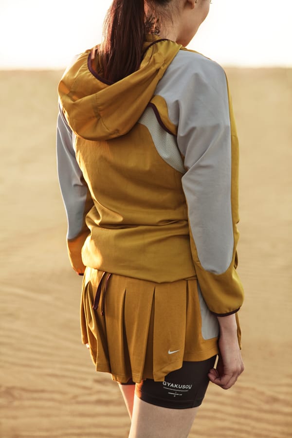
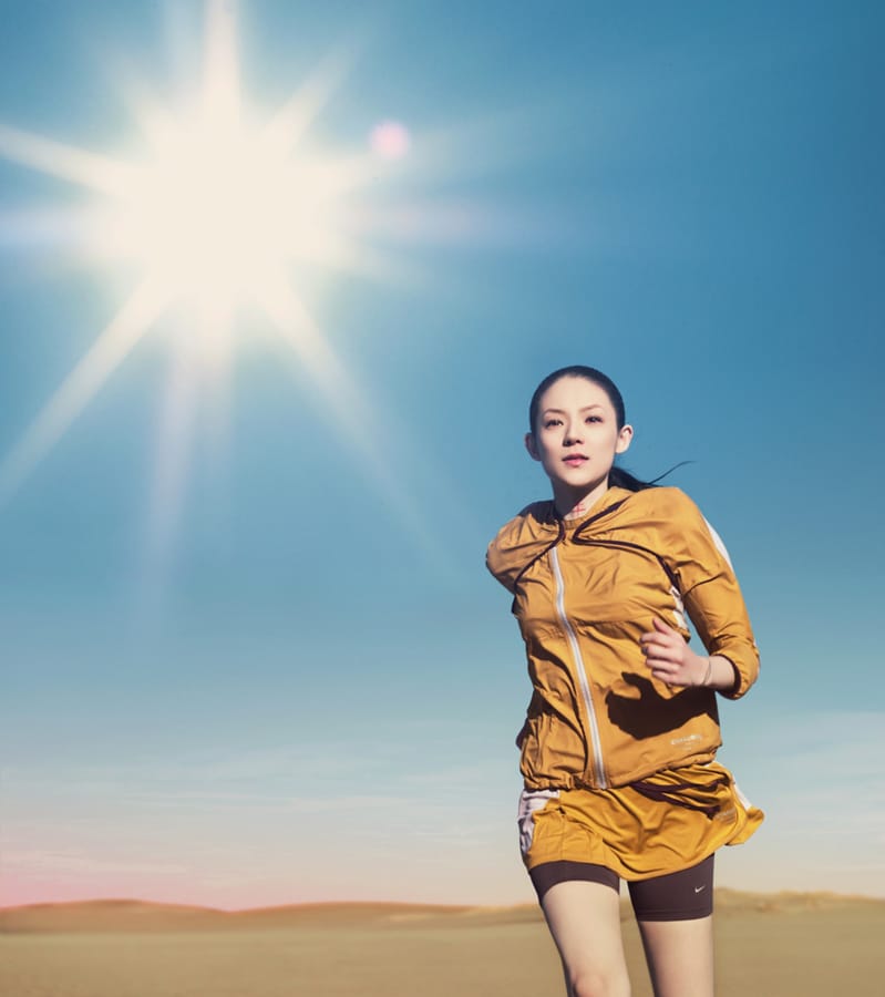
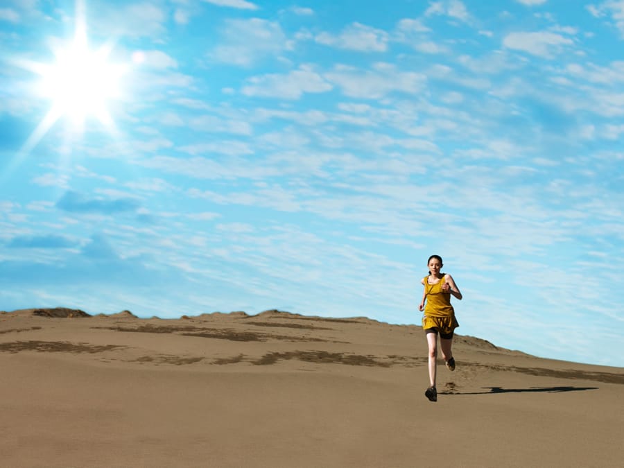
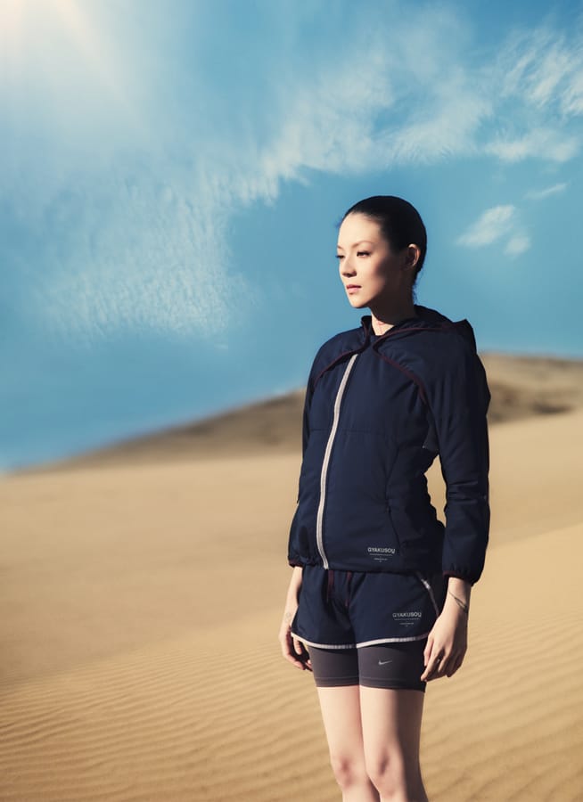
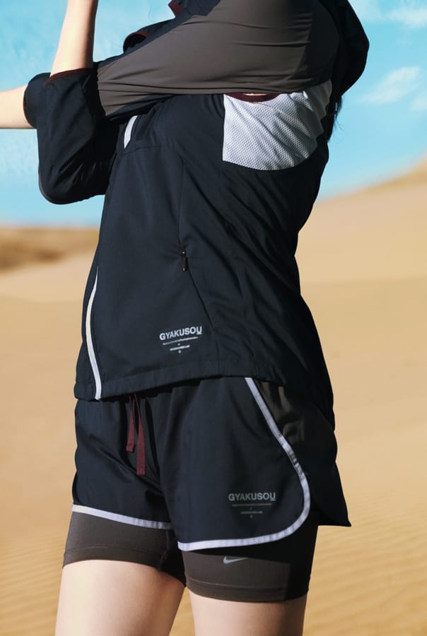
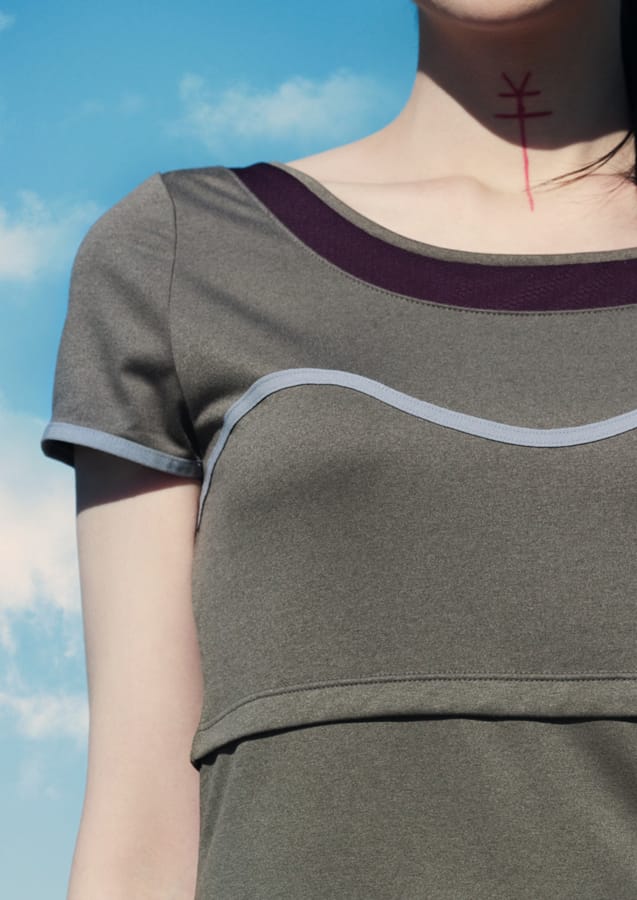
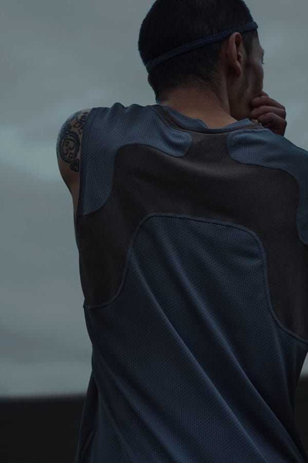
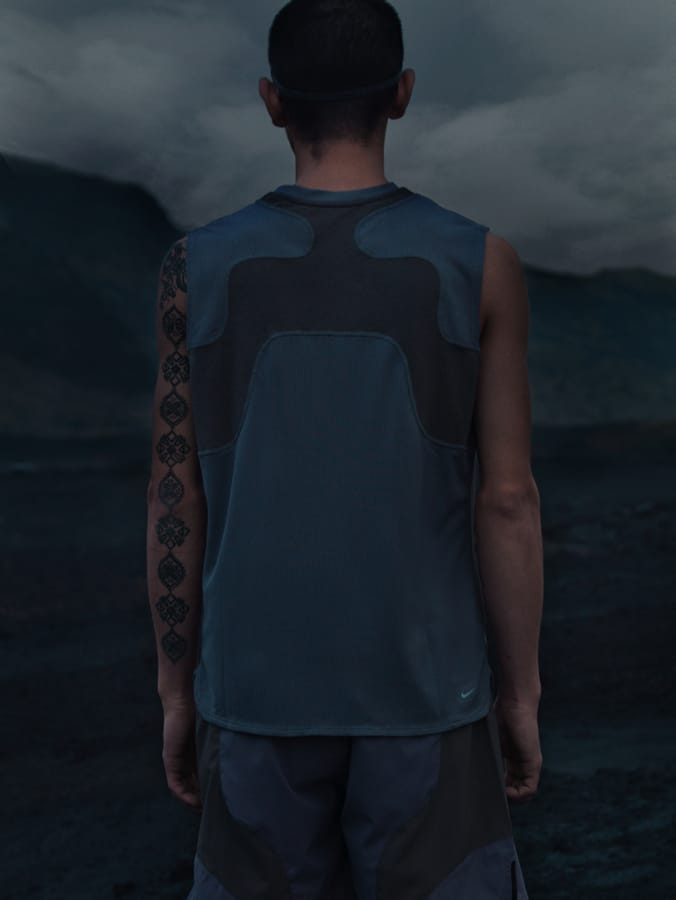
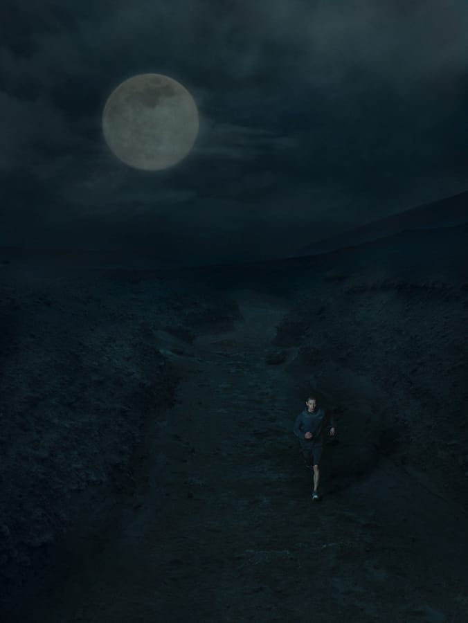
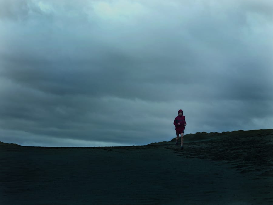
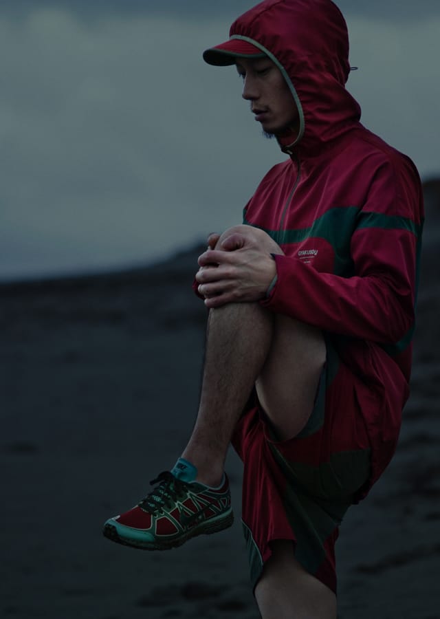
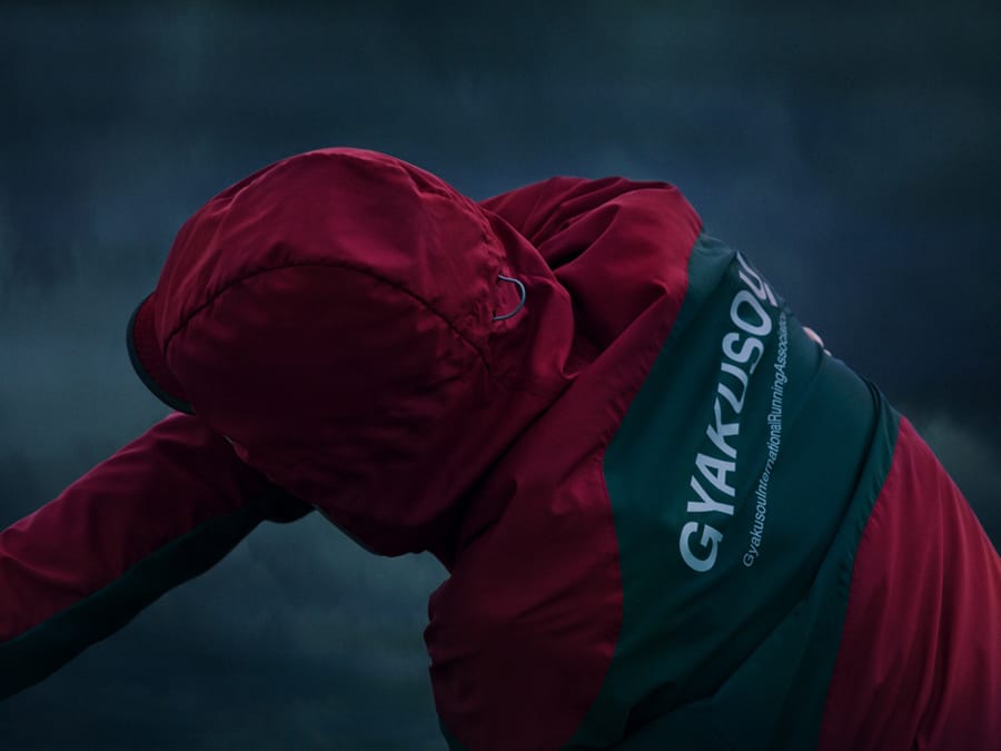
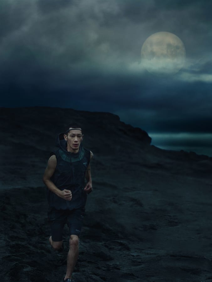
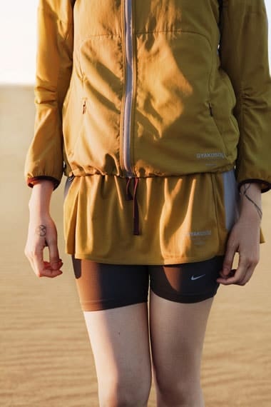
The Spring 2012 collection from GYAKUSOU, the innovative running wear line by Jun Takahashi, designer for Nike and Undercover, will begin delivery on Saturday, March 3rd. This collection features items that shine with even greater functionality than before, including freedom of movement, comfort, and storage. The color scheme, a key element of GYAKUSOU, incorporates deep hues such as gray, green, and blue that blend in with both natural and urban landscapes, as well as accent burgundy red. Furthermore, continuing from the previous collection, the use of heather gray material, often seen in menswear, creates a unique world view that fuses various elements. Pay attention to the design, which has found a new value as one-of-a-kind running wear, and look forward to its delivery. Incidentally, the long-awaited women's collection will also debut this time, making GYAKUSOU even more of a hot topic. Why not check out the latest collection in person at a store?
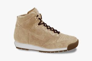
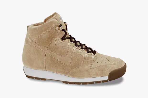
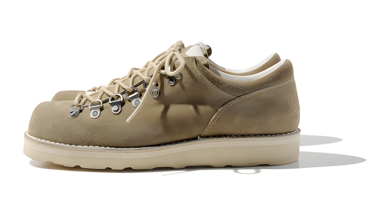
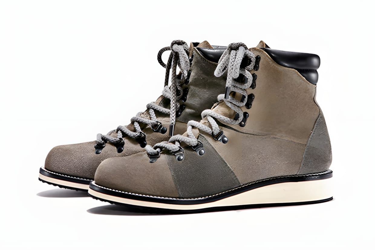
1980年代の名作として知られるラバドームとダンク、それぞれアウトドアとバスケットボールというカテゴリーが異なるプロダクトのデザインを組み合わせた魅惑のハイブリッド機種にニューモデルが登場。本作は、アッパー全体に天然皮革のスウェードを採用。単色のソリッドな外観に映えるカラーシューレース使いが効果的で、クラシックなアウトドアシューズの雰囲気を漂わせたルックスに仕上げられている。また、シューズ内部には高次元のクッショニング&反発性を併せ持つ「ZOOM AIR」のソックライナーを搭載し、履きやすさにも配慮されたモダンスニーカーブーツだ。

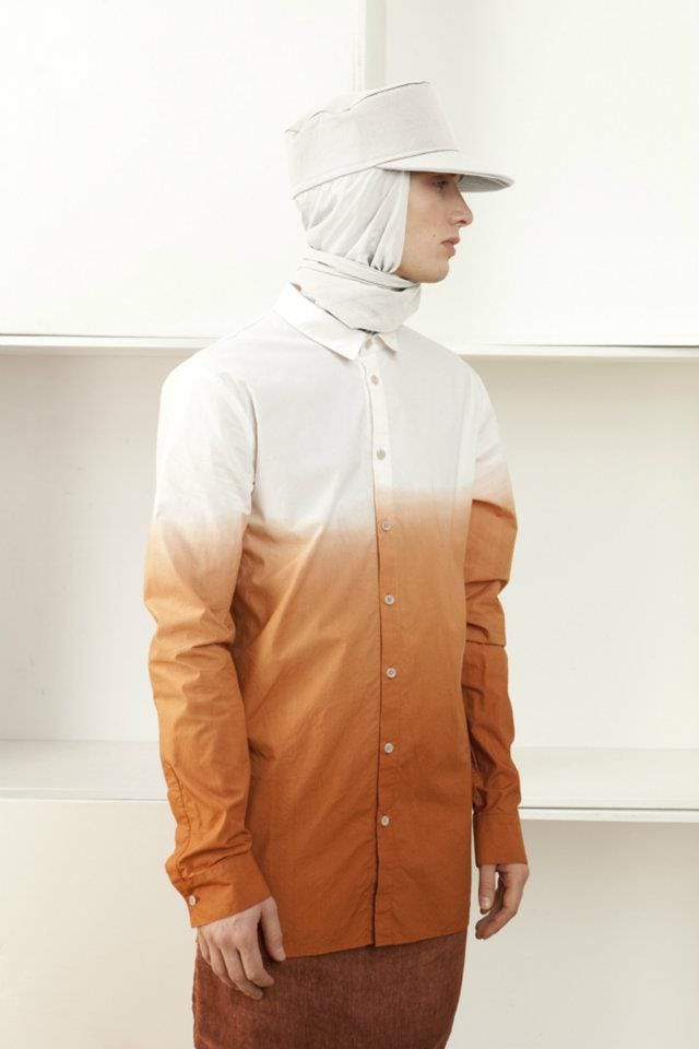
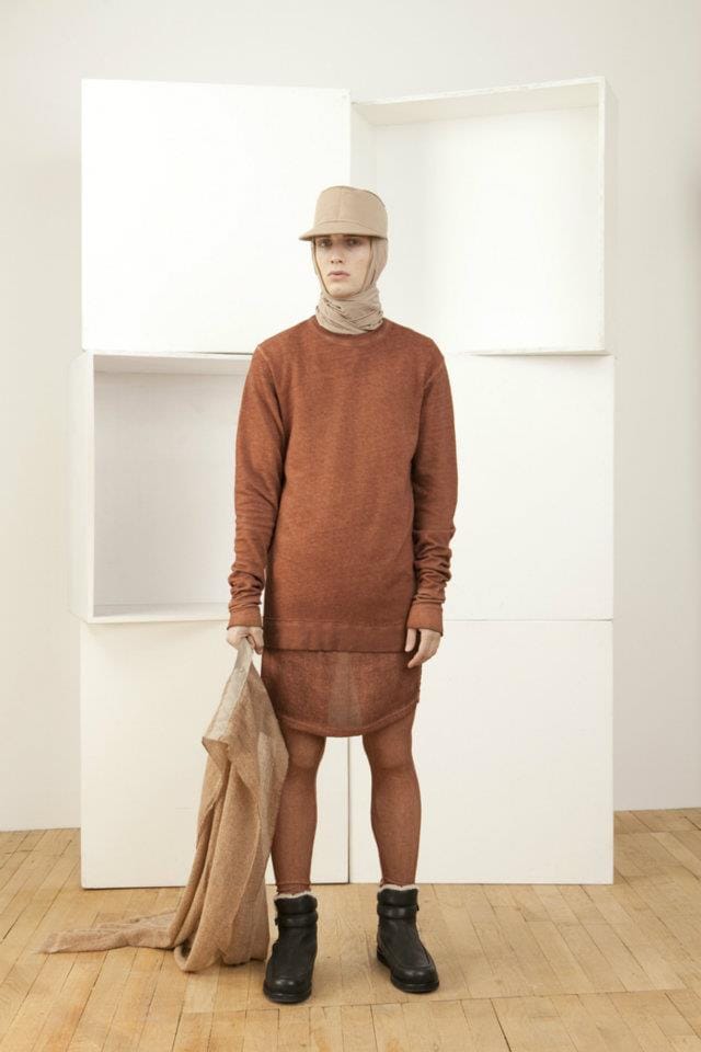
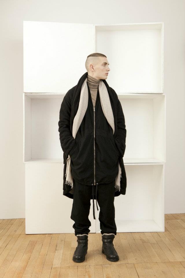
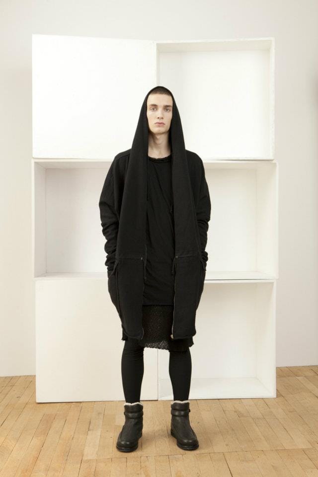
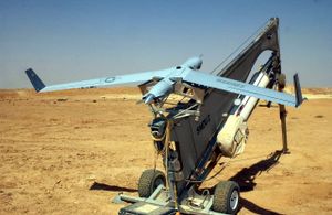
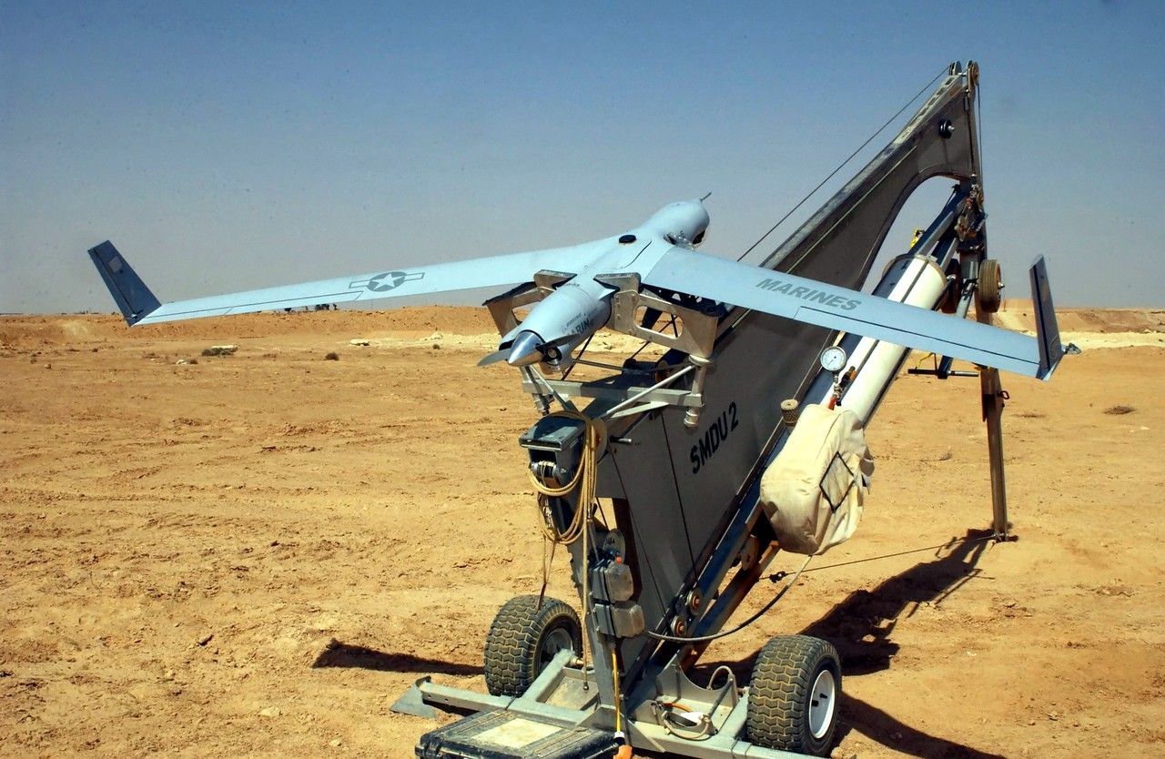
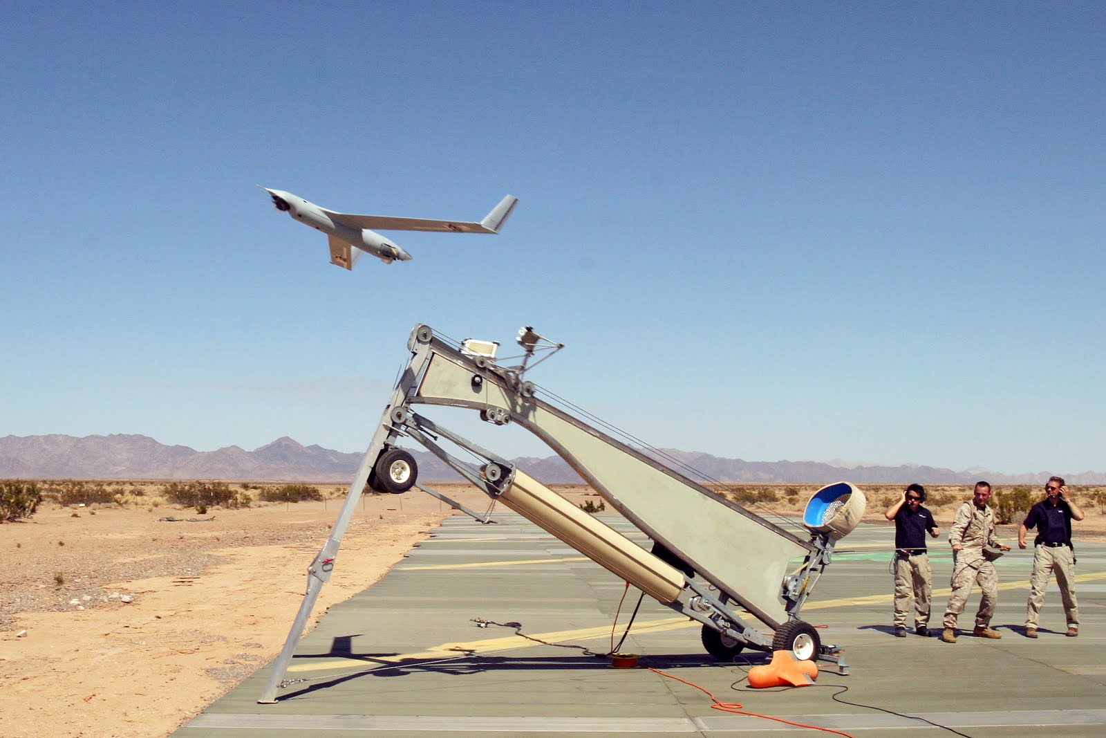
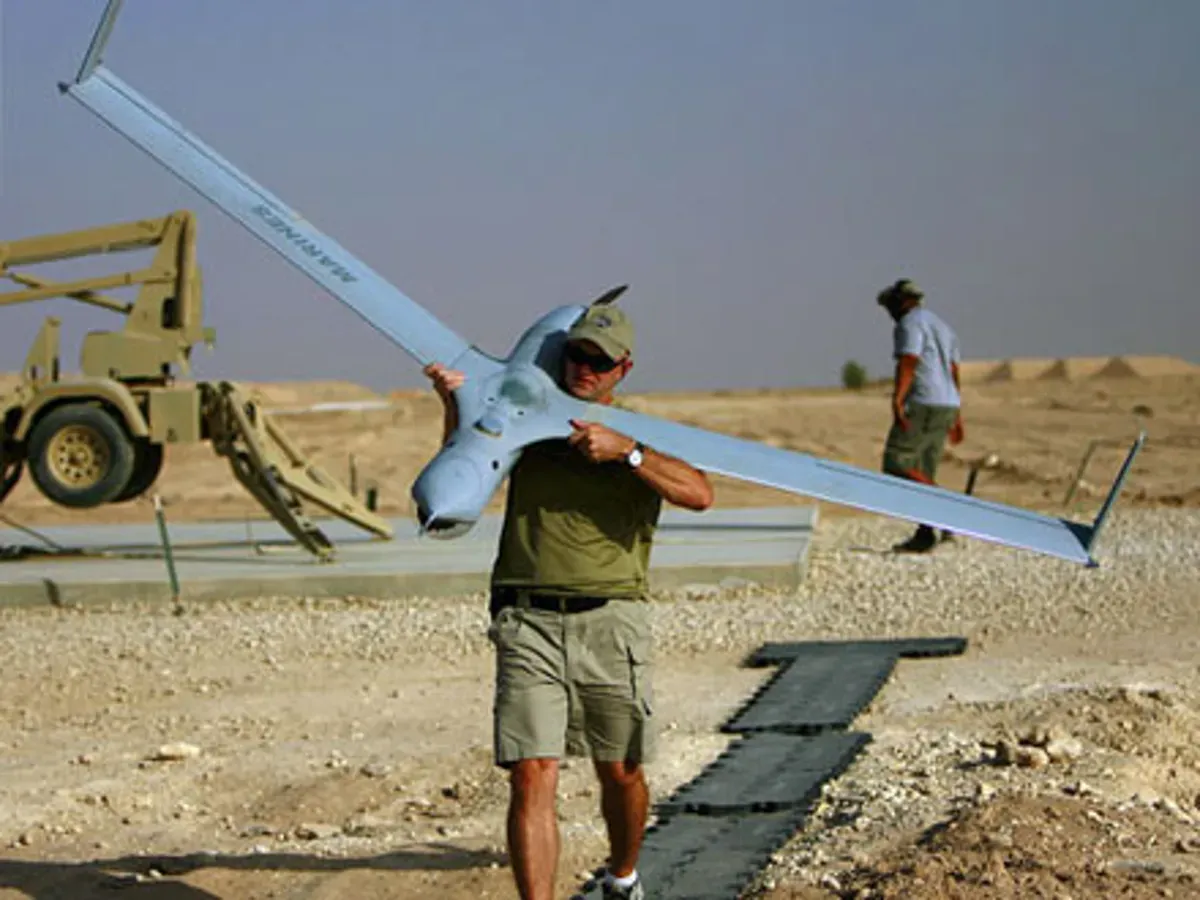
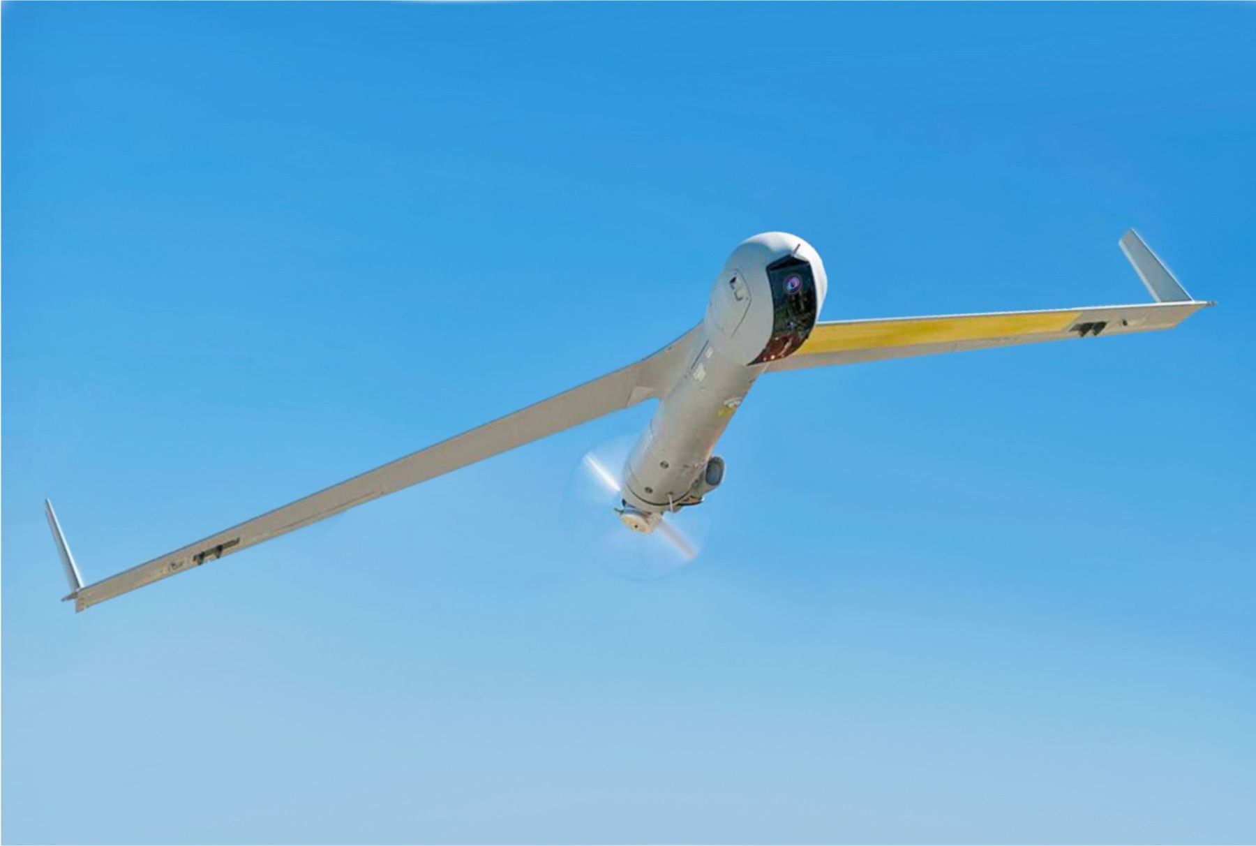
The Boeing Insitu ScanEagle is a small, long-endurance reconnaissance UAV first flown in 2002 and in service with the U.S. Navy and allied forces since the mid-2000s. Just over 1.5 m long with a 3.1 m wingspan, it is launched from a pneumatic “SuperWedge” catapult and recovered in the field by its “Skyhook” system — snagging a wingtip hook on a suspended vertical rope — so it needs no runway. A propeller-driven pusher design, it can loiter for over 24 hours carrying stabilised electro-optical and infrared cameras for maritime and battlefield surveillance.
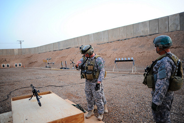
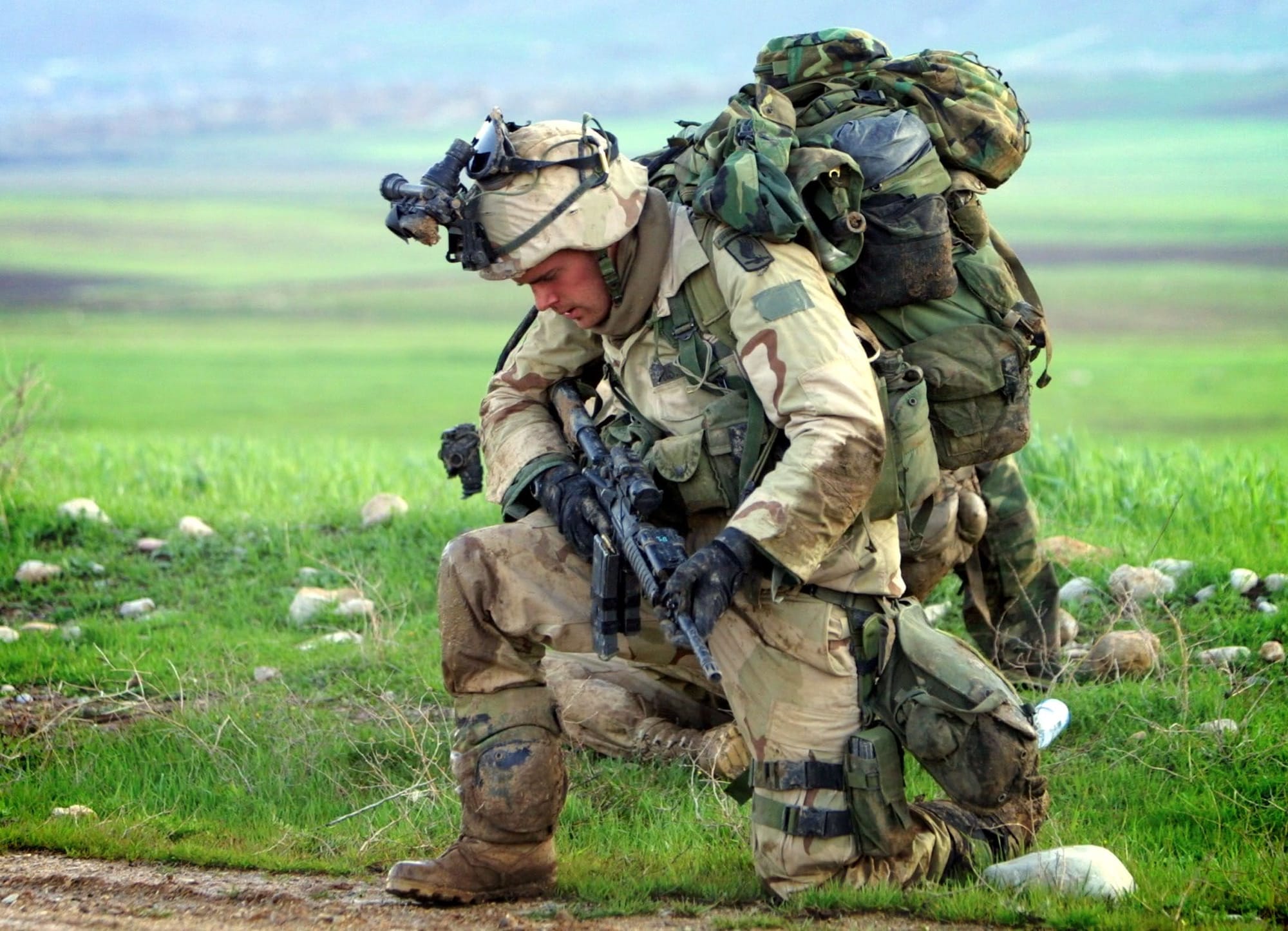
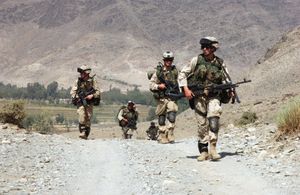
Private First Class Brandon Aird photographed this 173rd Airborne Brigade soldier pausing under his combat load near Bashur Airfield in northern Iraq in March 2003, following the brigade's combat jump.
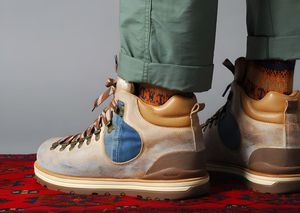
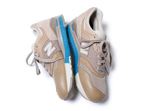
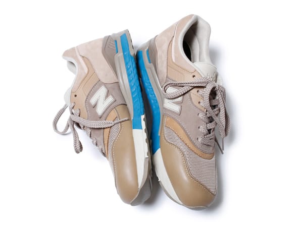
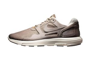
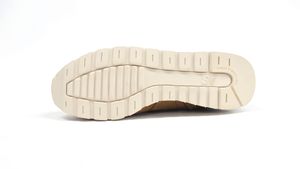
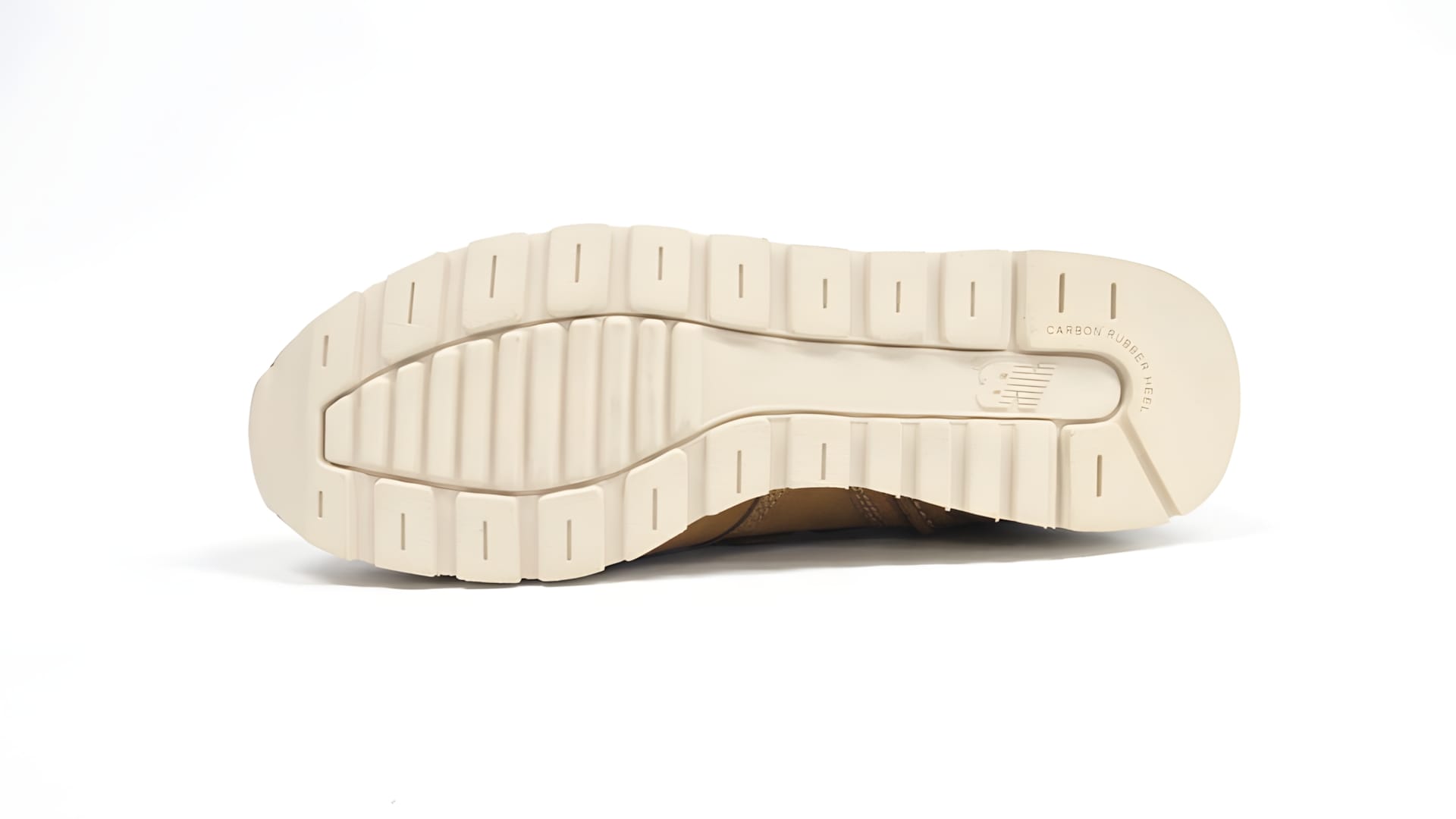
The nonnative x New Balance CM997 'Dune' (2011): the Tokyo label nonnative's version of the 997 in muted, earthy suede and mesh.